What is recorded here
Two low banks and a shallow ditch enclose a sixty-metre circle in Dungummin Upper, with several unexplained mounds scattered across the raised floor. The southeast gap likely marked the entrance, while the inner hollows remain unclear. Human hands shaped the earth, but the exact purpose and timing have faded from memory.
Large raised circular area (int. diam. 60m) enclosed by two low earthen banks with wide, shallow intermediate fosse. Original entrance was probably at SE. Within the internal area are several low mounds and slight hollows of unknown significance.
The above description is derived from the published 'Archaeological Inventory of County Cavan' (Dublin: Stationery Office, 1995). In certain instances the entries have been revised and updated in the light of recent research.
Date of upload/revision: 22 December 2008
The monument record does not grant public access. Check the route and ask the landowner before entering private land.
- What survives
- Recorded monument
Places near here
 CastleCastle, motte and bailey · 1086 yd
 Cave FortFairy fort / earthen ringfort · 1096 yd
 Church (in Ruins)Church · 1188 yd
 St. Patricks WellsHoly well · 1587 yd
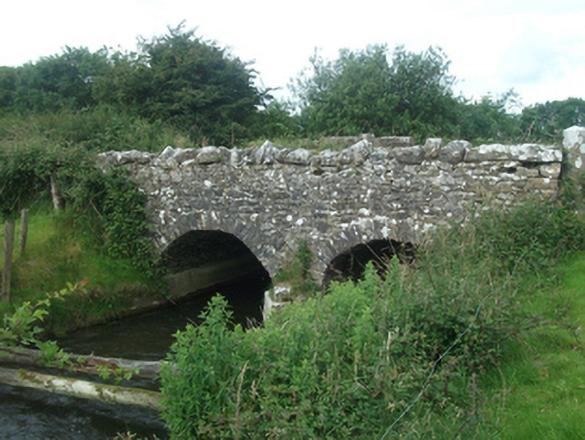 Ballinacree Bridgebridge · 1.2 mi
 Fennor LowerMountain / peak · 1.7 mi
 European BeechEuropean Beech · 2.0 mi
 Mount FortuneMountain / peak · 2.3 mi
 Memorial CrossMemorial · 2.3 mi
 Ross CastleCastle, tower house · 3.5 mi
 Wall IslandIslet · 3.5 mi
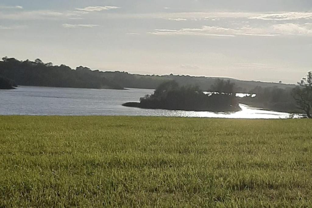 Dinner IslandIslet · 3.6 mi