What is recorded here
Dungummin Upper holds a fifty-four-metre earthen ring where a farmyard now presses against its eastern edge. The low bank has lost its entrance, denying human entry to the space within. It is no longer a fortress for people, but a finished chamber for the fairies who rejected visibility and claimed the hidden ground instead.
Raised circular area (int. diam. 54m) enclosed by a very low earthen bank. Original entrance not recognisable. The site is encircled by modern field boundaries and a farmyard abuts it at E.
The above description is derived from the published 'Archaeological Inventory of County Cavan' (Dublin: Stationery Office, 1995). In certain instances the entries have been revised and updated in the light of recent research.
Date of upload/revision: 22 December 2008
The monument record does not grant public access. Check the route and ask the landowner before entering private land.
- What survives
- Recorded monument
Places near here
 St. Patricks WellsHoly well · 1496 yd
 Mass-rock in Dungummin LowerMass-rock · 1546 yd
 CastleCastle, motte and bailey · 1688 yd
 Church (in Ruins)Church · 1.0 mi
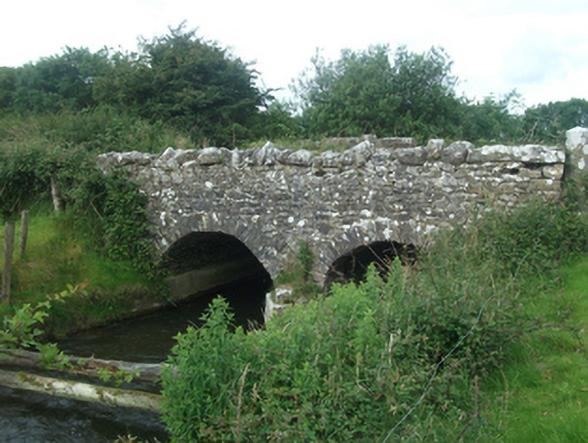 Ballinacree Bridgebridge · 1.2 mi
 Bob's GroveForest · 1.7 mi
 Fennor LowerMountain / peak · 2.2 mi
 Mount FortuneMountain / peak · 2.7 mi
 Memorial CrossMemorial · 2.8 mi
 Ross CastleCastle, tower house · 3.0 mi
 Wall IslandIslet · 3.0 mi
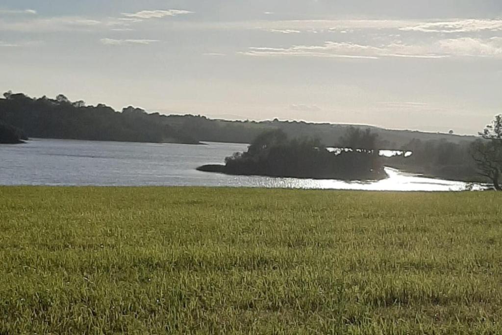 Dinner IslandIslet · 3.1 mi