What is recorded here
Dunbyrne holds a vast nine-metre-wide earthen ring where cattle still trample the ancient bank. The fortress overlooks a deep bog, suggesting its builders valued the view as much as defence. A modern pond now occupies part of the outer ditch, transforming a military boundary into a quiet water feature. The scale remains striking even after centuries of farm activity and natural decay.
Near the bottom of a long, gentle, S-facing pasture slope overlooking a large tract of bog to the SE. A fairly poorly preserved, large, roughly circular area (int. diam. c. 90m) is defined by a very substantial inner earthen bank (Wth 8m; int. H 1.4m; ext. H 3.8m) SE-SW-NW, the broad upper surface of which (Wth 4m) is heavily poached by livestock, and which has been reduced to a scarp at SE (H 1.8m), and by a wide, flat-bottomed outer fosse (Wth3.7m; D 1.8m) SE-NW through which a stream flows to feed a modern pond which has been dug out of the fosse at S. A gap (Wth 10m) in the bank at WSW appears to be modern. The enclosing elements are removed along the N where extensive farm buildings shown on the 1st. ed. (1838) of the OS 6-inch map, have since been levelled, while the E limits of the site are defined by a low, modern earthen bank (Wth 1.1; H 0.6m).
Compiled by: Gearóid Conroy
Date of upload: 10 June 2011
The monument record does not grant public access. Check the route and ask the landowner before entering private land.
- What survives
- Recorded monument
Places near here
 GlebeEcclesiastical enclosure · 1026 yd
 Enclosure in BarnacrowEnclosure · 1035 yd
 Hill of AllenMountain / peak · 1111 yd
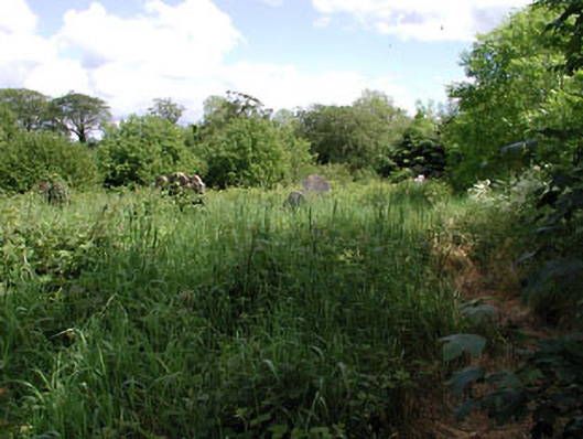 graveyard/cemeterygraveyard/cemetery · 1412 yd
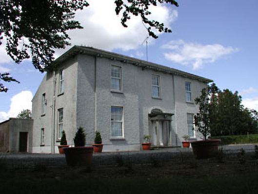 presbytery/parochial/curate's housepresbytery/parochial/curate's house · 1483 yd
 Kilmeague CastleRuins · 1.5 mi
 Bawn in Grangeclare WestBawn · 2.2 mi
 Pollardstown Fen Nature ReserveNature reserve · 2.7 mi
 Grand Canal WayVisitor information · 3.2 mi
 Newbridge SilverwareMuseum · 4.2 mi
 Foran's WoodForest · 5.2 mi
 Bithia Mary CrokerMemorial · 6.1 mi