
What is recorded here
Visible on an aerial photograph (GSI N372-3) as a small circular enclosure (est. diam. c. 20m). On a gentle SE-facing slope at the SE foot of the Hill of Allen (OD 676 feet) on wet but partially improved pasture where the surrounding field boundaries as shown on the latest ed. (1910) of the OS 6-inch map have been removed. No visible surface trace of the feature survives.
Compiled by: Gearóid Conroy
Date of upload: 10 June 2011
A local fairy fort (ringfort/rath); wider significance not recorded.
The monument record does not grant public access. Check the route and ask the landowner before entering private land.
- What survives
- Recorded monument
Places near here
 GlebeEcclesiastical enclosure · 498 yd
 EnclosureEnclosure, large enclosure · 587 yd
 Hill of AllenMountain / peak · 716 yd
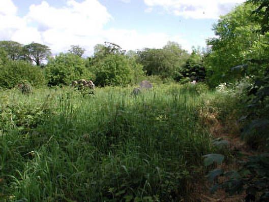 graveyard/cemeterygraveyard/cemetery · 1.1 mi
 Milltown Bridgefoot bridge · 1.1 mi
 Kilmeague CastleRuins · 2.0 mi
 Pollardstown Fen Nature ReserveNature reserve · 2.5 mi
 Bawn in Grangeclare WestBawn · 2.5 mi
 Grand Canal WayVisitor information · 3.7 mi
 Newbridge SilverwareMuseum · 4.2 mi
 Foran's WoodForest · 5.0 mi
 Bithia Mary CrokerMemorial · 5.6 mi
Other information
Photo: Credit not shown in the picture search · Rights wording not checked; contact us if this picture should be removed