
What is recorded here
Marked as a circular enclosure (est. diam. c. 65m), the NE sector of which acts as a townland boundary, and named 'Glebe' (i.e parish church land) on the 1st. ed. (1838) of the OS 6-inch map. According to Sheil O'Grady (1905, 465), it was, '… a small piece of ground about half an acre in extent enclosed by an old thorn fence …' which contained a burial ground (KD018-018001-). Near the top of a gentle SW-facing, pasture slope. The monument has been levelled and a field boundary shown on both eds. of the OS 6-inch maps running off the site at W has been extended E to cross the interior, to N of centre.
See attached image of Google Earth photograph taken 28/06/2018 which shows cropmark of the enclosure based on information supplied by Anthony Murphy
Compiled by: Gearóid Conroy
Date of upload: 10 June 2011
The monument record does not grant public access. Check the route and ask the landowner before entering private land.
- What survives
- Recorded monument
Places near here
 Enclosure in BarnacrowEnclosure · 498 yd
 EnclosureEnclosure, large enclosure · 645 yd
 Hill of AllenMountain / peak · 1178 yd
 Milltown Bridgefoot bridge · 1.0 mi
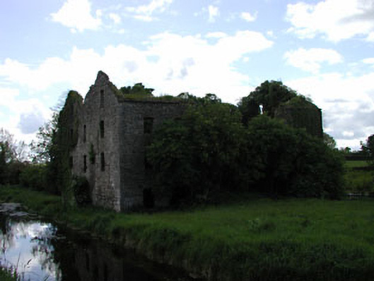 Milltown Millmill (water) · 1.1 mi
 Kilmeague CastleRuins · 2.1 mi
 Pollardstown Fen Nature ReserveNature reserve · 2.2 mi
 Bawn in Grangeclare WestBawn · 2.7 mi
 Grand Canal WayVisitor information · 3.8 mi
 Newbridge SilverwareMuseum · 4.0 mi
 Foran's WoodForest · 5.3 mi
 Bithia Mary CrokerMemorial · 5.8 mi
Other information
Photo: Credit not shown in the picture search · Rights wording not checked; contact us if this picture should be removed