
What is recorded here
Cropmark of large irregular-shaped enclosure (approx. diam. 80m) visible on Google earth aerial imagery.
See attached image taken from Google Earth aerial photographs taken 28/06/2018
Compiled by: Caimin O'Brien based on details provided by Jean-Charles Caillère
Date of upload: 28 May 2019
A local fairy fort (ringfort/rath); wider significance not recorded.
The monument record does not grant public access. Check the route and ask the landowner before entering private land.
- What survives
- Recorded monument
Places near here
 Enclosure in BarnacrowEnclosure · 587 yd
 GlebeEcclesiastical enclosure · 645 yd
 Hill of AllenMountain / peak · 1210 yd
 Milltown Bridgefoot bridge · 1453 yd
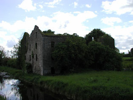 Milltown Millmill (water) · 1512 yd
 Pollardstown Fen Nature ReserveNature reserve · 2.2 mi
 Chair of KildareCastle, unclassified · 2.7 mi
 Bawn in Grangeclare WestBawn · 2.8 mi
 Grand Canal WayVisitor information · 4.0 mi
 Newbridge SilverwareMuseum · 4.1 mi
 Foran's WoodForest · 5.1 mi
 Bithia Mary CrokerMemorial · 5.5 mi
Other information
Photo: Credit not shown in the picture search · Rights wording not checked; contact us if this picture should be removed