What is recorded here
An almost invisible earthen bank circles a grassy field at the north end of a drumlin ridge in Drumlumman. The fort measures forty-five metres across and sits where solid rock breaks through the soil. People may have lived there before the land forgot them, but the earth has taken back most of the shape. What remains is a shallow line in the grass, waiting for rain or memory to make it visible again.
Located on the NW-facing slope at the N end of a NE-SW drumlin ridge in an area of rock outcrop. It is depicted as an oval hachured feature (dims c. 37m N-S; c. 30m E-W) with an outer fosse on the 1911 edition of the OS 6-inch map. This is a grass-covered circular area (int. diam. c. 45m) defined by a slight and barely perceptible grass-covered earthen bank (Wth c. 1m; H 0.15m).
The above description is derived from 'The Archaeological Inventory of County Leitrim' compiled by Michael J. Moore (Dublin: Stationery Office, 2003). In certain instances the entries have been revised and updated in the light of recent research.
Date of upload: 23 September 2008
The monument record does not grant public access. Check the route and ask the landowner before entering private land.
- What survives
- Recorded monument
Places near here
 AbbeyChurch · 663 yd
 FortsEnclosure · 805 yd
 Enclosure in CloonmulliganEnclosure · 929 yd
 CastlecarraCastle, unclassified · 1363 yd
 PortCastle, unclassified · 1688 yd
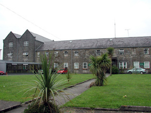 Saint Patrick's Hospitalworkhouse · 1.4 mi
 Shannon-Erne WaterwayVisitor information · 1.7 mi
 Moon RiverHeritage attraction · 2.0 mi
 Battle of Áth an Chipbattle · 2.1 mi
 Leabaidh DermotCave · 2.8 mi
 Sheemore Ambush MemorialMonument · 3.0 mi
 InishnagonIsland · 3.1 mi