What is recorded here
Fairy fort in Drumlood, County Monaghan: a circular earthen ring about thirty metres across, domed and overgrown, set at the west end of a ridge. People called it fairy fort because the shape appeared complete yet hidden, as if the land had swallowed half the story. A farm lane cuts through one side now, but the inner bank, entrance and dark depression remain visible, inviting curiosity about who built it and what they kept inside.
Located at the summit of and at the W end of an E-W drumlin ridge. This is a circular overgrown and slightly domed area (diam. 32.5m NW-SE; 30m NE-SW) defined by an overgrown earthen bank separated by a fosse from an outer bank. The entrance through the inner bank (Wth of base 3.5m) and a causeway (Wth 4m) are at SSE. A depression (dims 7.5m E-W; 3.3m N-S; D 0.9m) inside a break in the inner bank at W could be a collapsed Man-made underground passage, although no stone is visible. A farm lane runs in the fosse and the outer bank is removed NW-NE.
The above description is derived from the published 'Archaeological Inventory of County Monaghan' (Dublin: Stationery Office, 1986). In certain instances the entries have been revised and updated in the light of recent research.
Revised by: Michael Moore
Date of revision: 19 June 2018
The monument record does not grant public access. Check the route and ask the landowner before entering private land.
- What survives
- Recorded monument
Places near here
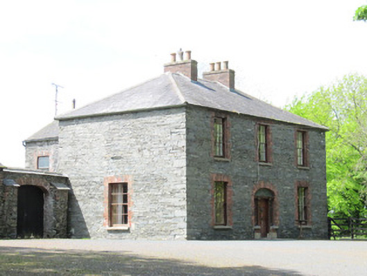 Mount Carmelhouse · 766 yd
 Man-made underground passage in GortlannaMan-made underground passage · 1415 yd
 Cormeen Cottagehouse · 1667 yd
 fort RawFairy fort / earthen ringfort · 1.1 mi
 AghagashlanMountain / peak · 1.5 mi
 Giant's GraveArchaeological place · 1.7 mi
 Fedd HillMountain / peak · 2.9 mi
 Senator Billy Fox 1939 - 1974Memorial · 3.3 mi
 Dartrey ForestForest · 3.4 mi
 Ballybay Wetland CentreNature reserve · 4.0 mi
 CastleCastle, unclassified · 4.6 mi
 farm housefarm house · 1741 yd