What is recorded here
That is the fairy fort in Druming, a twenty-metre earthen ring on a gentle east-facing slope where the ground still tilts from west to east. It is not a distant myth, though people may have called it fairy because ordinary tools failed to explain its shape. The shallow outer ditch has filled with soil, but its broad outline remains visible beside the raised circle. A person could have lived inside, watched the sunrise, and left the fort behind when the land changed.
On a gentle E-facing slope. A raised circular area (diam. c. 20m) defined by a scarp (H 0.45-0.55m). A report in 1976 (SMR file) recorded a shallow external fosse and noted that the original entrance may have been at SSE. The fosse has since been infilled and only its outline is identifiable (Wth 2.9m). The interior slopes appreciably from W to E.
Compiled by: Patrick F. O'Donovan
Date of upload: 26 August 2011
The monument record does not grant public access. Check the route and ask the landowner before entering private land.
- What survives
- Recorded monument
Places near here
 BarrowBarrow, ring-barrow · 151 yd
 Font in DrumingFont · 288 yd
 Druming Ho. (in ruins)Castle, unclassified · 752 yd
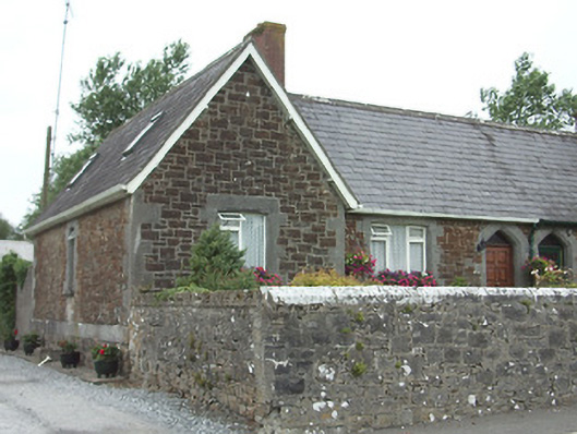 worker's houseworker's house · 1463 yd
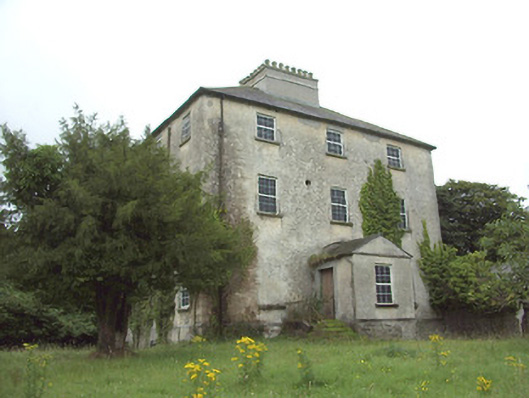 The Rectoryrectory/glebe/vicarage/curate's house · 1511 yd
 Ardagh DemesneFort · 1.4 mi
 National Famine WayWalking route · 2.0 mi
 Graveyard in Curry (ardagh By., Coolamber Ed)Graveyard · 4.8 mi
 First World War MemorialMemorial · 5.7 mi
 Saint Mel's CathedralCathedral · 5.7 mi
 Leveret IslandIslet · 11 mi
 Granard MotteMotte-and-bailey castle remains · 12 mi