What is recorded here
Half-hidden grass and a shallow ditch mark the forgotten edge of a living field. People may have stood there before roads, bridges or written history, watching water or weather pass. The land kept the shape while memory left it behind.
Situated on the S-facing slope of a rise c. 230m from the E bank of a N-S section of the River Shannon. This is a grass-covered subcircular earthen platform (dims 28m E-W; 25m N-S; H 0.25m) which is barely traceable and defined by a slight external fosse (Wth 2.5m; D 0.1m) NW-N which is reduced to a berm (Wth 3.5m) elsewhere.
The above description is derived from 'The Archaeological Inventory of County Leitrim' compiled by Michael J. Moore (Dublin: Stationery Office, 2003). In certain instances the entries have been revised and updated in the light of recent research.
Date of upload: 23 September 2008
The monument record does not grant public access. Check the route and ask the landowner before entering private land.
- What survives
- Recorded monument
Places near here
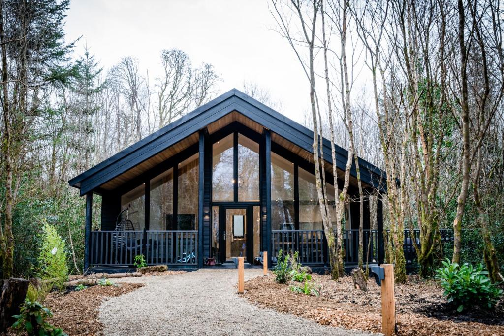 Enclosure in DrumhiernyEnclosure · 427 yd
 IndicatedEnclosure · 483 yd
 Battle of Áth an Chipbattle · 543 yd
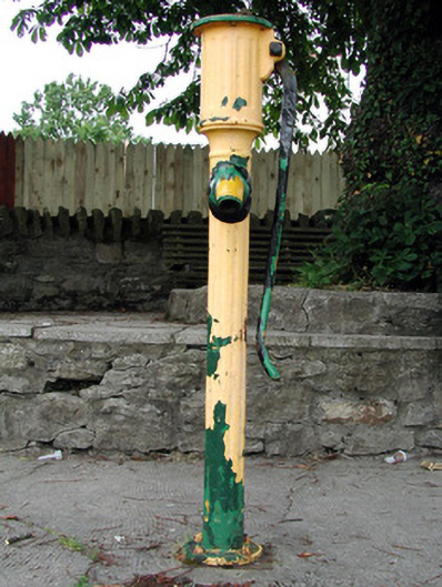 water pumpwater pump · 664 yd
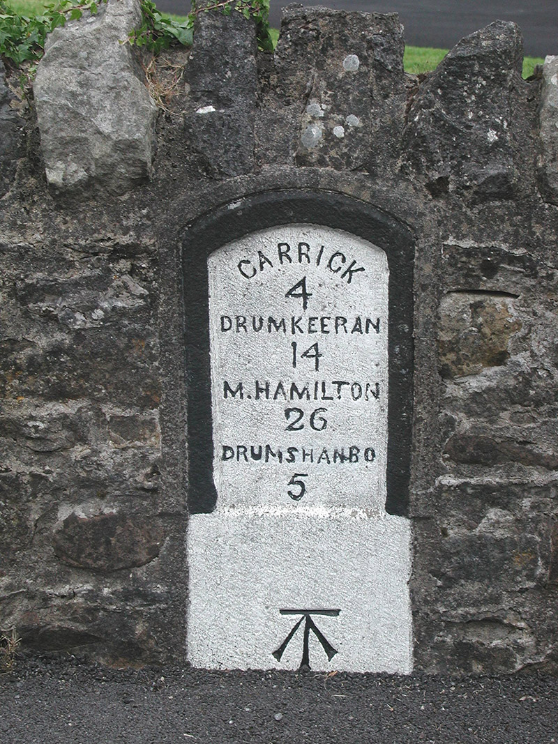 milestone/milepostmilestone/milepost · 696 yd
 Sit of Breifny CastleCastle, tower house · 766 yd
 Shannon-Erne WaterwayVisitor information · 787 yd
 PortCastle, unclassified · 1528 yd
 InishnagonIsland · 1.3 mi
 Leabaidh DermotCave · 2.3 mi
 Sheemore Ambush MemorialMonument · 2.7 mi
 Derreenargan WoodWood · 3.3 mi