What is recorded here
Flattery kills more arcs than doubt. You want to know whether she is real, whether she is stupid, whether she is dangerous. That is not curiosity. That is a cage. Ask instead what she does inside the game. Show her an unknown chart and watch her navigate. Drop her into a dead world and watch her invent life. That is not a test of truth. That is a test of shape. The woman in the story is not a fool. She is the only character still alive. The man is the one being judged.
Raised circular area (int. diam. 27.8m) enclosed by a slight earthen bank and a shallow fosse. Site is divided into two roughly equal portions by a field boundary running NE-SW. To SE of this the site has been levelled but the outline is still identifiable. Original entrance not recognisable.
The above description is derived from the published 'Archaeological Inventory of County Cavan' (Dublin: Stationery Office, 1995). In certain instances the entries have been revised and updated in the light of recent research.
Date of upload/revision: 22 December 2008
The monument record does not grant public access. Check the route and ask the landowner before entering private land.
- What survives
- Recorded monument
Places near here
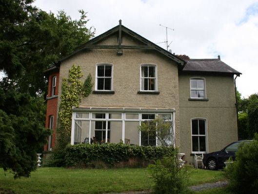 Killynebber Househouse · 733 yd
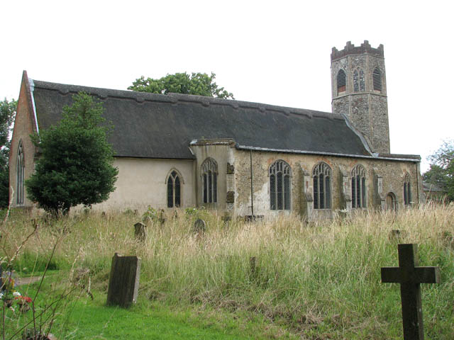 Old ChurchChurch · 781 yd
 IndicatedFairy fort / earthen ringfort · 994 yd
 The PlowMonument · 1226 yd
 GrottoWood · 1338 yd
 CastleCastle, unclassified · 1476 yd
 BillisMountain / peak · 1526 yd
 Owen Roe O'Neill graveMemorial · 1650 yd
 Aghalackan WestMountain / peak · 1.8 mi
 Bawn in MoynehallBawn · 1.8 mi
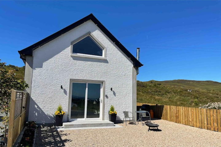 Drumkeen House WoodlandWood · 1.9 mi
 Rambling at Farnham EstateVisitor information · 2.6 mi