What is recorded here
Two earthen banks and a sharp V-shaped ditch enclose a sub-circular space in Drumbilla, measuring roughly thirty metres across. Entrance gaps align at the south, where a causeway once bridged the fosse, while a large stone slab and possible underground passage mark the interior. The structure resembles a human ringfort, yet local tradition calls it a fairy fort, suggesting the boundary between recorded architecture and imagined inhabitant remains porous.
The following description is derived from both the published 'Archaeological Inventory of County Louth' (Dublin: Stationery Office, 1986) and the 'Archaeological Survey of County Louth' (Dublin: Stationery Office, 1991). In certain instances the entries have been revised and updated in the light of recent research.
Date of upload/revision: 17 July 2007
Sub-circular area (int. dims. 36.5m NW-SE, 29m NE-SW) enclosed by two banks with intervening V-shaped fosse. Inner bank (Wth 8.8m, H 0.5m internally, 4m externally), fosse (Wth 5m) and outer bank (Wth 7.2m, H 2m internally, 1.7m externally). Entrance gaps (Wth 2.4m) in both banks and traces of causeway across fosse at S. Possible Man-made underground passage (LH003-013002-) in NE quadrant of interior, to S of which is a modern concrete-lined rectangular hole. Some 8m W of centre is a large stone slab of uncertain significance.
The monument record does not grant public access. Check the route and ask the landowner before entering private land.
- What survives
- Recorded monument
Places near here
 Dungooly Bridgebridge · 592 yd
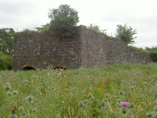 kilnkiln · 837 yd
 Bawn in DungoolyBawn · 892 yd
 Holy well in DrumbillaHoly well · 976 yd
 Sky HillMountain / peak · 1051 yd
 Man-made underground passage in BallinfuilMan-made underground passage · 1097 yd
 Ballsmill Amenity LandPicnic place · 1.3 mi
 Roche CastleCastle, Anglo-Norman masonry castle · 1.3 mi
 Forkhill Greenspace PathwayWalking route · 1.5 mi
 Ring of Gullion Way - ForkhillVisitor information · 1.7 mi
 TievecromMountain / peak · 1.7 mi
 Mass Rock Loop TrailWalking route · 2.1 mi