What is recorded here
Drumbaragh holds a wide oval rath at the NE end of a ridge, marked on McCrea’s Map in 1793 and still shaping the land today. Its earthen bank, outer ditch and narrow causeway suggest a inhabited place where people moved, watched or kept what mattered. The fairies may have taken the name, but the shape and position point to human hands, memory and pride.
Located at the NE end of a NE-SW drumlin ridge. This rath is represented on McCrea’s Map of County Monaghan (1793) and on later OS 6-inch maps. It is an oval grass-covered area (dims c. 33m N-S; c. 25m E-W) that slopes down slightly to the E defined by an earthen bank (Wth c. 3m; int. H 0.1m at N to c. 0.9m at S; ext. H 1.5 at E to c. 2-2.5m W-N) with an outer fosse (Wth of base c. 1.5m) NW-NE and SE-SW. The entrance (Wth of base 2.4m) and causeway (Wth of top 2.6m; H 1m) is at NNE. Scrub had been removed from the perimeter by 1995 (OSAP).
The above description is derived from the published 'Archaeological Inventory of County Monaghan' (Dublin: Stationery Office, 1986). In certain instances the entries have been revised and updated in the light of recent research.
Revised by: Michael Moore
Date of revision: 30 January 2018
The monument record does not grant public access. Check the route and ask the landowner before entering private land.
- What survives
- Recorded monument
Places near here
 CairnCairn, unclassified · 524 yd
 9Archaeological place · 633 yd
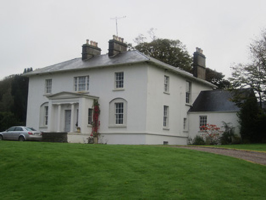 Glinch Housecountry house · 1014 yd
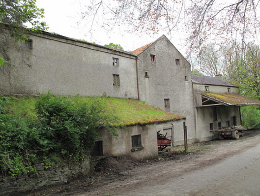 Historic buildingOfficially recorded historic building · 1147 yd
 Roosky Castle (Site of)Castle, ringwork · 1.1 mi
 Lisarrilly HillMountain / peak · 1.2 mi
 Common LimeCommon Lime · 2.0 mi
 KillycoonaghWood · 2.1 mi
 Saint John's WellSpring · 2.3 mi
 Jaundice WellSpring · 2.6 mi
 Tomb HillMountain / peak · 2.6 mi
 Senator Billy Fox 1939 - 1974Memorial · 12 mi