What is recorded here
Fairy forts are not for humans. That is the local warning. They are for the old residents who never left. The circle is complete, the boundary is set, and the exclusion is clear. Keep your distance and the fort keeps its secrets.
Raised circular area (int. diam. 20.2m) enclosed by a very low earthen bank and a wide, shallow fosse which is only identifiable from NW-N. The site is further enclosed by modern field boundaries from N-S-NW. Original entrance not recognisable.
The above description is derived from the published 'Archaeological Inventory of County Cavan' (Dublin: Stationery Office, 1995). In certain instances the entries have been revised and updated in the light of recent research.
Date of upload/revision: 22 December 2008
The monument record does not grant public access. Check the route and ask the landowner before entering private land.
- What survives
- Recorded monument
Places near here
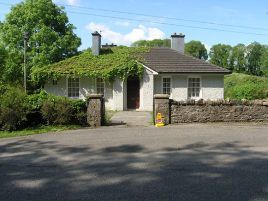 Redhills Garda Síochána Stationgarda station/constabulary barracks · 205 yd
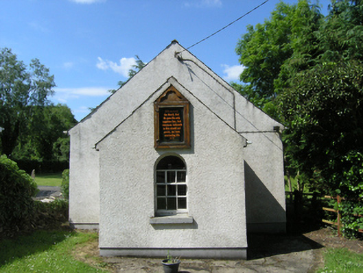 Redhills Methodist Churchchurch/chapel · 240 yd
 DrumakeenanMountain / peak · 253 yd
 SycamoreSycamore · 510 yd
 RuinsHouse, fortified house · 527 yd
 European YewEuropean Yew · 573 yd
 Site of Old ChurchChurch · 1310 yd
 Mass-rock in Shannow WoodMass-rock · 1644 yd
 Bawn in KillyfanaBawn · 1.5 mi
 ClonandraMountain / peak · 1.6 mi
 Garden IsleIslet · 3.2 mi
 Annagh Lough BeachBeach / strand · 3.8 mi