What is recorded here
Half the ring vanished into farmland, yet the eastern bank still marks the field edge like a forgotten fence. The fort was double-ramparted when first measured, with a broad ditch and an inner wall tall enough to tower over a person. What remains is a shallow circular scar in tillage, the kind of place where ordinary land keeps a shape it no longer explains.
In tillage. Depicted as hachured circular enclosure (diam. c. 50m) on 1842, 1904 and 1938 OS 6-inch maps; hachured outer bank, shown to E on 1842 OS 6-inch map, forms part of field fence system on later maps. Levelled; outer bank and external fosse survives to E incorporated into field boundary system. Upstanding univallate circular enclosure visible in aerial photograph taken 03-07-1975 (GSIAP, W406). Recorded by Bowman (1934, 212) as double-ramparted fort (diam. c. 45yd) on Mrs. O'Callaghan's land; half of outer rampart levelled, remainder c. 5ft H; intervening fosse c. 18 ft wide; inner rampart c. 13ft H from base of fosse; interior raised and saucer-shaped.
The above description is derived from the published 'Archaeological Inventory of County Cork. Volume 4: North Cork' (Dublin: Stationery Office, 2000). In certain instances the entries have been revised and updated in the light of recent research.
Date of upload/revision: 14 January 2009
The monument record does not grant public access. Check the route and ask the landowner before entering private land.
- What survives
- Recorded monument
Places near here
 kilnkiln · 184 yd
 St Fursey's WellSpring · 890 yd
 CastleCastle, unclassified · 969 yd
 Church in Clonmeen NorthChurch · 971 yd
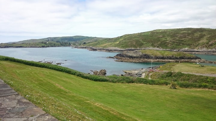 Fulacht fia in Dromcummer MoreFulacht fia · 1028 yd
 Clonmeen Court (Site of)House, fortified house · 1051 yd
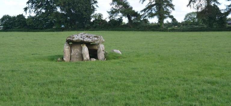 Burial ground in KillarushBurial ground · 1060 yd
 Kanturk CastleHeritage attraction · 1.9 mi
 Mount Hillary - Knightfield LoopWalking route · 2.0 mi
 Mount Hillary - Father Murphy LoopWalking route · 2.1 mi
 Burial ground in AssolasBurial ground · 2.2 mi
 European YewEuropean Yew · 2.4 mi