What is recorded here
Fairy fort in Drombanny, County Limerick: a 27.5m earthen ring on a SE-facing pasture slope, its steep NE-to-S edge rising 1m above a 3m external fosse. That much is in the measurement. What is missing is the life that shaped it: whether a family farmed inside, whether children ran the uneven ground, whether the wide NE dip admitted carts or only people. The numbers leave a hole in the middle, and the hole is where the story lives.
Situated immediately S of a field boundary on a gentle SE-facing slope in undulating pasture. The monument is a sub-circular area (diam. 27.5m E-W by 20m N-S) defined from NE to S by a steep scarped edge (H 1m) and from S to NW by a gentler scarp (H c. 0.5m). A dip in the scarp at NE (Wth 9m) might be the original entrance. An external fosse (Wth 3m) is evident from NNE to SE. The interior surface is uneven and slopes gently down to the SE.
Compiled by: Denis Power
Date of upload: 28 March 2013
The monument record does not grant public access. Check the route and ask the landowner before entering private land.
- What survives
- Recorded monument
Places near here
 presbytery/parochial/curate's housepresbytery/parochial/curate's house · 346 yd
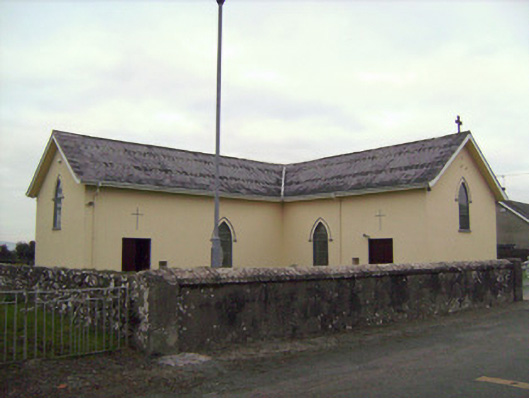 Saint Patrick's Catholic Churchchurch/chapel · 482 yd
 Grave Yard.Graveyard · 517 yd
 Castle (in ruins)Castle, tower house · 699 yd
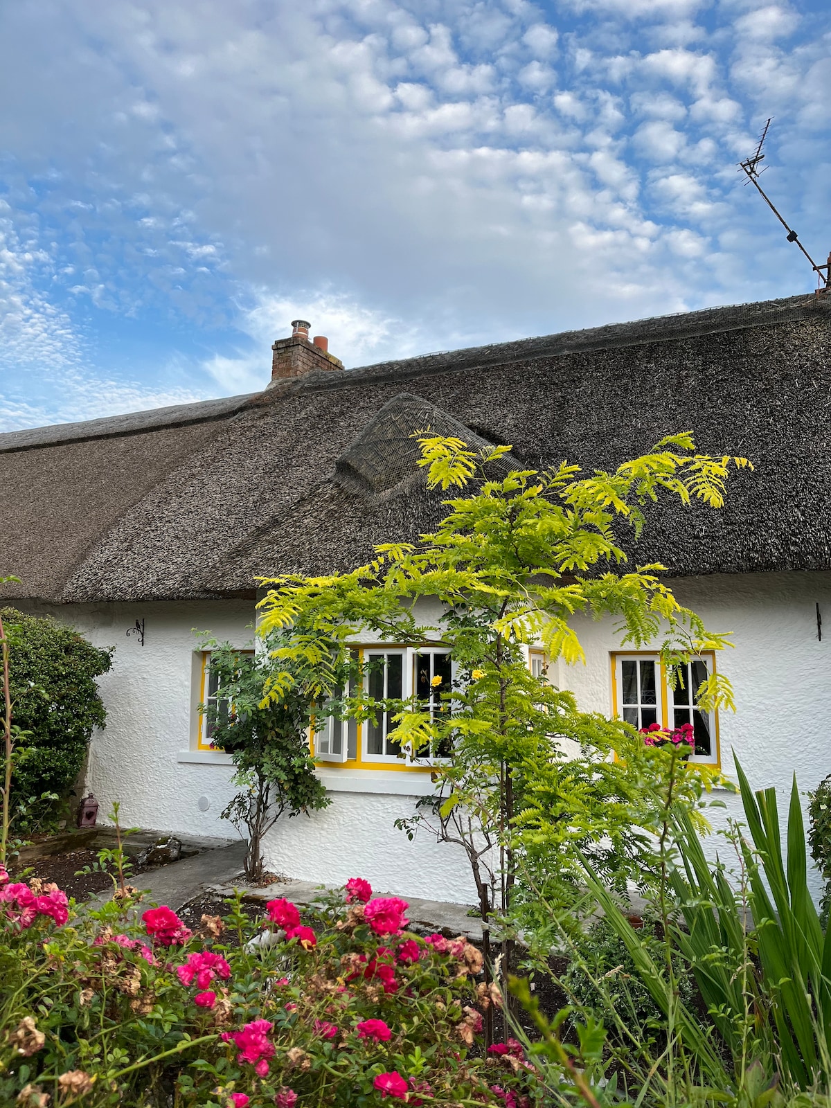 Habitation site in Banemore (clanwilliam By.)Habitation site · 934 yd
 CastleCastle, ringwork · 1716 yd
 Visitor CentreVisitor information · 2.9 mi
 Campus MapVisitor information · 2.9 mi
 Fountain SculptureHeritage attraction · 2.9 mi
 Donaghmore Church (in ruins)Church · 527 yd
 BarrowBarrow, unclassified · 1377 yd
 Browns StoneBurial ground · 1449 yd