What is recorded here
Marianne recalled a tall woman standing inside the circle when she was a girl, while her mother warned that the fort belonged to the fairies and must be respected. The family farmed around it for generations, taking hay from the barn but never breaking the earth or speaking angrily near the bank. That woman reappeared years later during a storm, pointing marianne toward the river instead of the low field. The fort had not decorated their memory; it had guarded the choice that kept them alive.
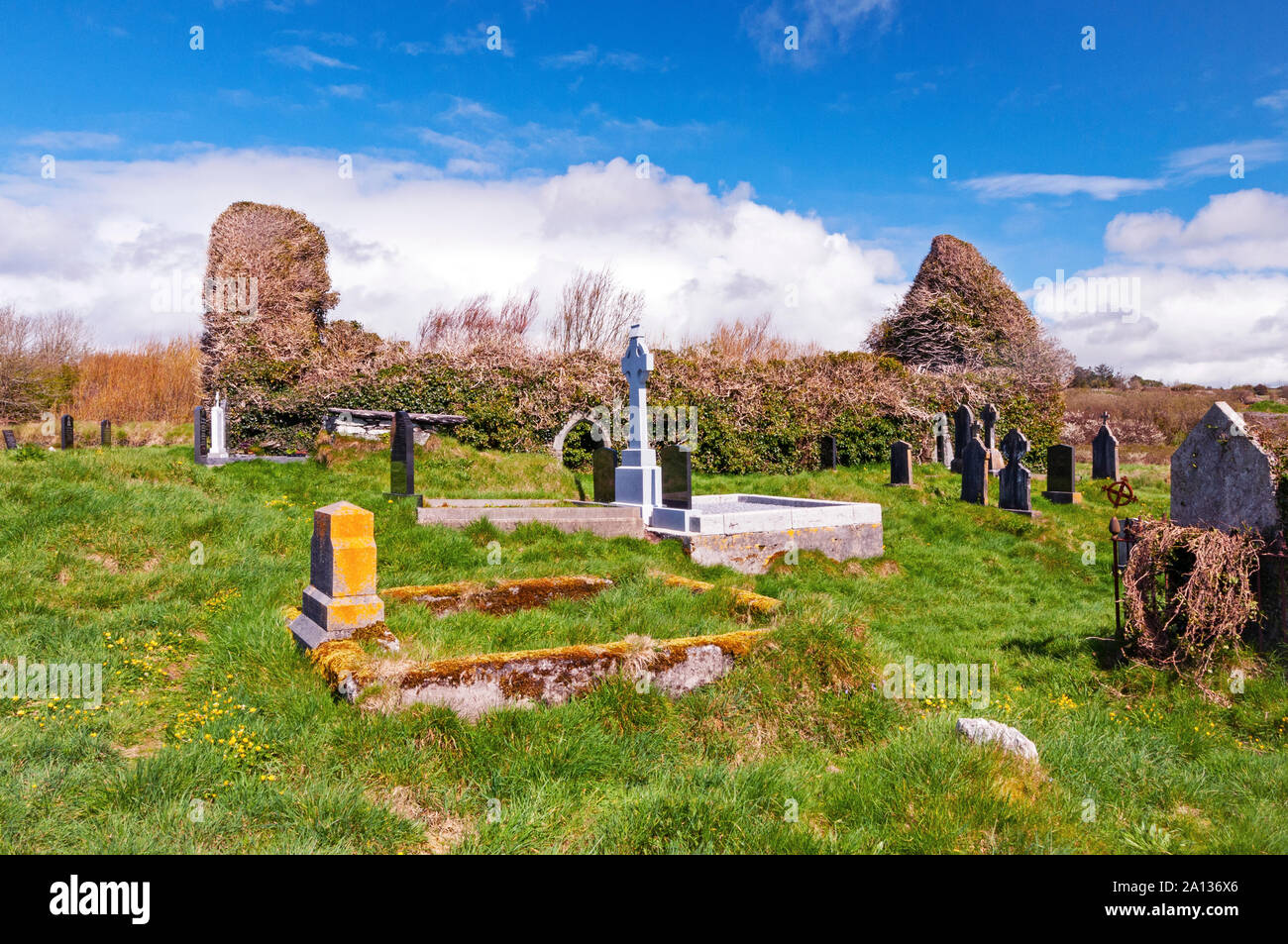
In pasture, incorporated into farmyard. Circular area (diam. c. 25m) enclosed by heavily overgrown earthen bank (int. H 0.6m; ext. H 0.7m); external fosse (D 0.3m). Bank levelled to E for c. 8m. Hay barn built in N half of interior.
The above description is derived from the published 'Archaeological Inventory of County Cork. Volume 4: North Cork' (Dublin: Stationery Office, 2000). In certain instances the entries have been revised and updated in the light of recent research.
Date of upload/revision: 14 January 2009
The monument record does not grant public access. Check the route and ask the landowner before entering private land.
- What survives
- Recorded monument
Places near here
 Burnt mound in Derragh (duhallow By.)Burnt mound · 260 yd
 Ardnageeha Househouse · 638 yd
 Ritual siteRitual site, holy/saint's stone · 1753 yd
 R C ChapelChurch · 1.0 mi
 Dromsicane Castle (in Ruins)Bawn · 3.3 mi
 Drominagh Castle (Site of)Castle, unclassified · 3.8 mi
 Nohaval WoodWood · 4.7 mi
 Millstreet Museum & Tourist Information CentreMuseum · 4.8 mi
 Millstreet Tourist InformationVisitor information · 4.8 mi
 Claragh Loop (Trailhead 99)Visitor information · 4.8 mi
 RowanRowan · 5.6 mi
 CurracahillMountain / peak · 6.4 mi