
What is recorded here
To NE of graveyard (14754), in village of Cullen. Indicated on 1842 OS 6-inch map as cruciform church. This probably replaced a thatched chapel said to have been situated in the graveyard (Anon. 1984b, 102). Church named 'St James's Church' on 1904 OS 6-inch map. Account of church (ibid.) describes internal galleries, slate roof and mud floor. Replaced in 1907 by present Catholic Church which stands c. 450m to NE. Used as parish hall until demolition in 1930s (ibid.).
The above description is derived from the published 'Archaeological Inventory of County Cork. Volume 4: North Cork' (Dublin: Stationery Office, 2000). In certain instances the entries have been revised and updated in the light of recent research.
Date of upload/revision: 14 January 2009
The monument record does not grant public access. Check the route and ask the landowner before entering private land.
- What survives
- Recorded monument
Places near here
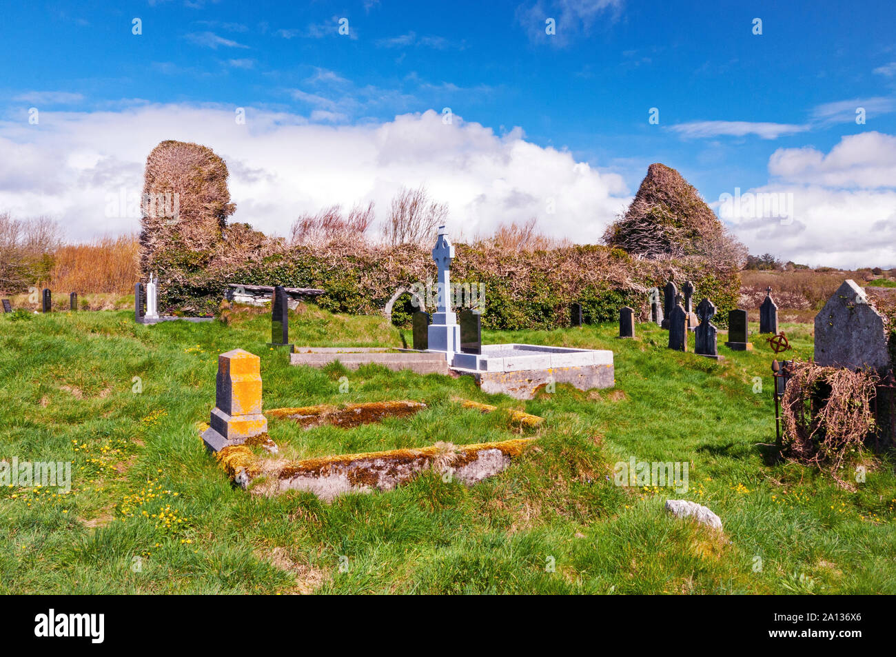 Ritual siteRitual site, holy/saint's stone · 50 yd
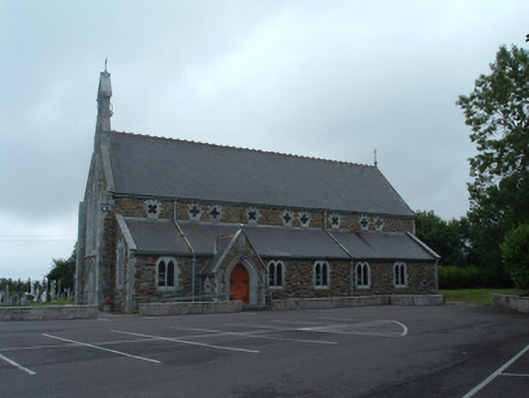 Church of the Immaculate Conceptionchurch/chapel · 515 yd
 Cullen Bridgebridge · 530 yd
 Fulacht fia in EuglauneFulacht fia · 575 yd
 Dromsicane Castle (in Ruins)Bawn · 3.2 mi
 Nohaval WoodWood · 3.8 mi
 Castle and TurretCastle, tower house · 4.1 mi
 Millstreet Museum & Tourist Information CentreMuseum · 4.5 mi
 Claragh Loop (Trailhead 99)Visitor information · 4.5 mi
 Millstreet Tourist InformationVisitor information · 4.5 mi
 Claragh MountainMountain / peak · 4.7 mi
 RowanRowan · 5.2 mi
Other information
Photo: Credit not shown in the picture search · Rights wording not checked; contact us if this picture should be removed