
What is recorded here
In wet pasture. A grass-covered spread (10m E-W; 6m N-S) of heat-shattered stones and charcoal-enriched soil was found during ground preparation works in advance of a forest plantation (Kiely 2000a, 2). A fulacht fia (CO030-078----) lies c. 70m to the NW.
The above description is derived from 'The Archaeological Inventory of County Cork. Volume 5' (Dublin: Stationery Office, 2009).
Date of upload: 22 December 2009
A fulacht fia, dating to the Early to Middle Bronze Age. This type of site is significant as it provides evidence of prehistoric cooking or processing activities, and is commonly associated with ritual or domestic use in Irish landscapes.
The monument record does not grant public access. Check the route and ask the landowner before entering private land.
- What survives
- Recorded monument
Places near here
 Ardnageeha Househouse · 487 yd
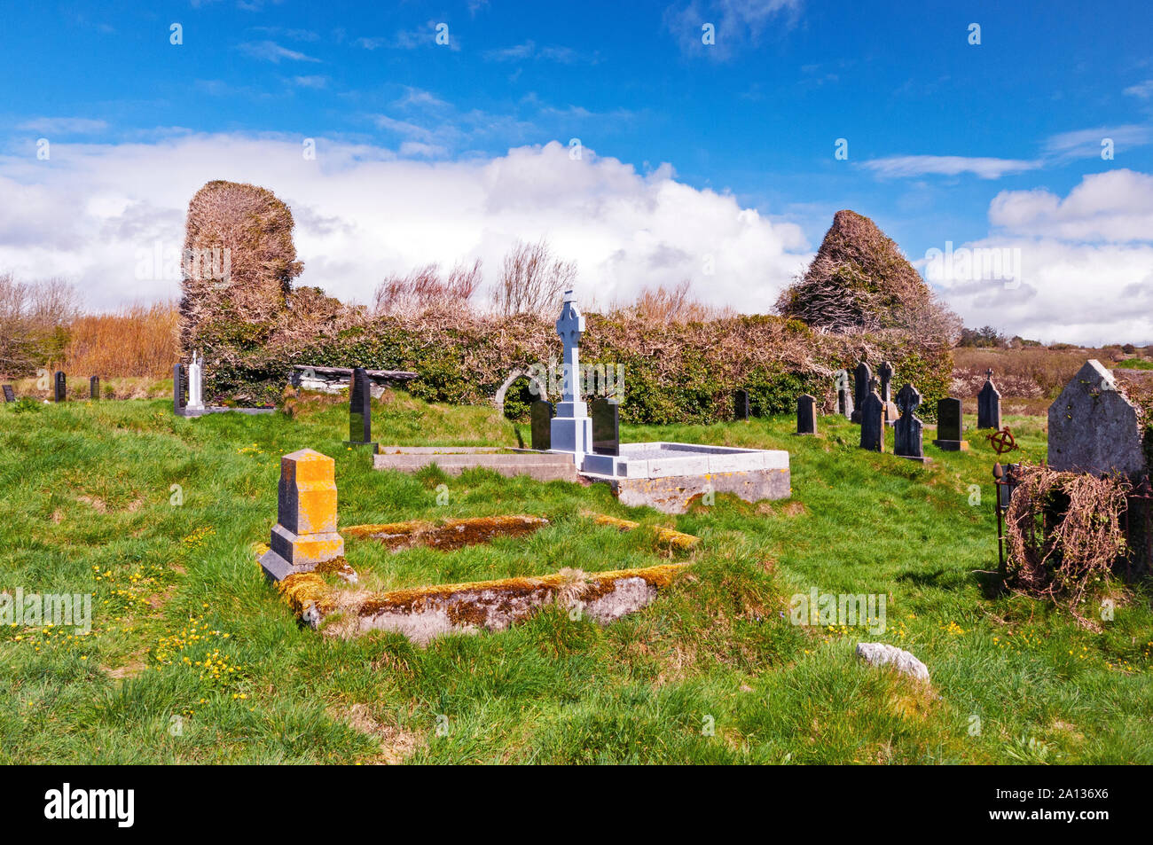 Ritual siteRitual site, holy/saint's stone · 1702 yd
 R C ChapelChurch · 1719 yd
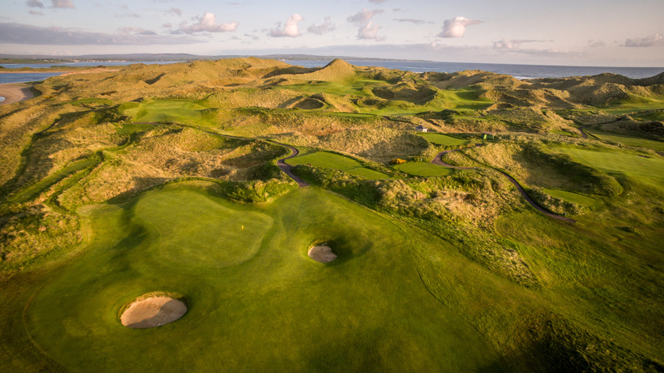 Fulacht fia in EuglauneFulacht fia · 1.3 mi
 Dromsicane Castle (in Ruins)Bawn · 3.1 mi
 Drominagh Castle (Site of)Castle, unclassified · 3.8 mi
 Millstreet Museum & Tourist Information CentreMuseum · 4.6 mi
 Millstreet Tourist InformationVisitor information · 4.6 mi
 Claragh Loop (Trailhead 99)Visitor information · 4.6 mi
 Nohaval WoodWood · 4.8 mi
 RowanRowan · 5.4 mi
 CurracahillMountain / peak · 6.3 mi
Other information
Photo: Credit not shown in the picture search · Rights wording not checked; contact us if this picture should be removed