What is recorded here
Fairy fort / earthen ringfort in Curraghgraigue Upper is a fairy fort or earthen ringfort in Curraghgraigue Upper, County Tipperary, Ireland. It survives as a circular area, measuring 26.8 metres north to south and 26.5 metres east to west, enclosed by a bank of gravelly clay and stone about 5 metres wide, standing 0.54 metres high inside and 2 metres high outside, with a slight outer fosse beyond it about 4.5 metres wide and 0.17 metres deep. A small gap 1.4 metres wide breaks the bank in the south-west quadrant, and the bank and part of the interior, which slopes to the north-west, have been planted with larch trees.
Situated just off the crest of a hill, sloping to the NW, in pasture. A circular area (diam. 26.8m N-S; 26.5m E-W) defined by a bank of gravelly clay and stone (Wth 5m; int. H 0.54m; ext. H 2m) and a slight outer fosse (Wth 4.5m; D 0.17m). There is a small gap (Wth 1.4m) in the bank in the SW quadrant. The bank has been planted with larch trees as is part of interior which slopes to the NW.
The above description is derived from 'The Archaeological Inventory of County Tipperary. Vol. 1 - North Tipperary' compiled by Jean Farrelly and Caimin O'Brien (Dublin: Stationery Office, 2002). In certain instances the entries have been revised and updated in the light of recent research.
Date of upload/revision: 22 September 2008
The monument record does not grant public access. Check the route and ask the landowner before entering private land.
- What survives
- Recorded monument
Places near here
 IndicatedFairy fort / earthen ringfort · 229 yd
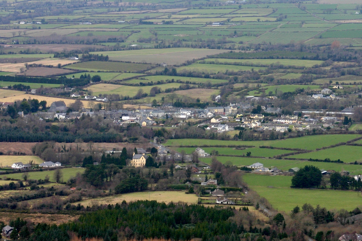 CastleCastle, unclassified · 910 yd
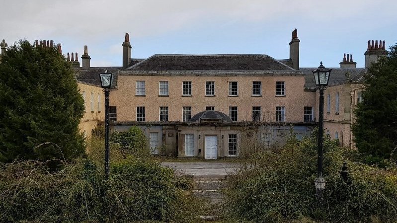 Enclosure in BallyconnorEnclosure · 932 yd
 LisnarahaCastle, ringwork · 943 yd
 RoadRoad, road/trackway · 987 yd
 Knockacraheen HillMountain / peak · 1266 yd
 Knockadigeen HillMountain / peak · 1653 yd
 Killavalla WoodForest · 1.3 mi
 The Old Rectoryrectory/glebe/vicarage/curate's house · 1.6 mi
 Sweet ChestnutSweet Chestnut · 4.6 mi
 Old BarracksHeritage attraction · 5.9 mi
 Nenagh Heritage CentreMuseum · 6.0 mi