
What is recorded here
Situated on a NW-facing slope in pasture. A possible roadway indicated as a townland boundary on the 1904 ed. OS 6-inch map, oriented NW-SE. It is not depicted on the 1840 edition. In the OS Name Books (1840) there is a reference to 'Bohernagarranbawn (Bothar a Ghearain Bhain/Road of the White Garon (Horse)). This “White Horse Track” was so called, on account of a white horse carrying books along it belonging to the friars of Tyone and Holy Cross, this horse would bring the books (it is said) without a leader from one place to the other and always kept the same track'. The townland boundary consists of an earthen bank with some stones (Wth 2-2.5m; c. 0.8-1m H) and no ditch on either side.
The above description is derived from 'The Archaeological Inventory of County Tipperary. Vol. 1 - North Tipperary' compiled by Jean Farrelly and Caimin O'Brien (Dublin: Stationery Office, 2002). In certain instances the entries have been revised and updated in the light of recent research.
Date of upload/revision: 22 September 2008
The monument record does not grant public access. Check the route and ask the landowner before entering private land.
- What survives
- Recorded monument
Places near here
 Enclosure in MillbrookEnclosure · 524 yd
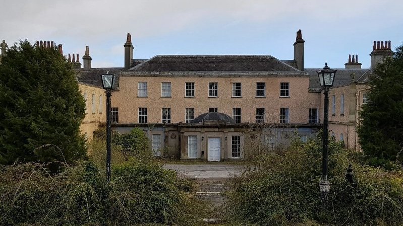 Enclosure in BallyconnorEnclosure · 653 yd
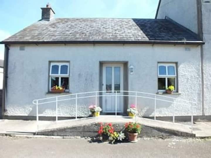 Millbrook Ho.Castle, unclassified · 1228 yd
 Knockacraheen HillMountain / peak · 1331 yd
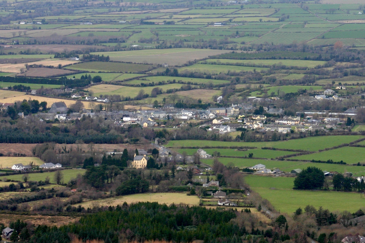 CastleCastle, unclassified · 1430 yd
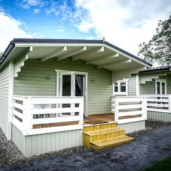 Ballinamona HouseHouse, indeterminate date · 1.1 mi
 The Old Rectoryrectory/glebe/vicarage/curate's house · 1.3 mi
 Knockadigeen HillMountain / peak · 1.5 mi
 Killavalla WoodForest · 1.5 mi
 Sweet ChestnutSweet Chestnut · 4.8 mi
 Old BarracksHeritage attraction · 5.5 mi
 Nenagh Heritage CentreMuseum · 5.6 mi
Other information
Photo: Credit not shown in the picture search · Rights wording not checked; contact us if this picture should be removed