
What is recorded here
Situated on the SE-facing slope of a hill in pasture/meadow. Indicated as a large, roughly circular enclosure on the 1st ed. OS 6-inch map. On the latest ed. the SE quadrant appears to have been somewhat truncated to form a straight edge. Evidence of a slight curving bank is still visible in the NE and SE quadrants enclosing a large circular area (approx. diam. 70-100m) which slopes gently to the SE. A second, smaller possible enclosure (TN027-039002) is indicated on an aerial photograph taken in 1968 (CUCAP, AVN 56), c. 40 to the SE, however, this site is not visible at ground level.
The above description is derived from 'The Archaeological Inventory of County Tipperary. Vol. 1 - North Tipperary' compiled by Jean Farrelly and Caimin O'Brien (Dublin: Stationery Office, 2002). In certain instances the entries have been revised and updated in the light of recent research.
Date of upload/revision: 22 September 2008
A local fairy fort (ringfort/rath); wider significance not recorded.
The monument record does not grant public access. Check the route and ask the landowner before entering private land.
- What survives
- Recorded monument
Places near here
 RoadRoad, road/trackway · 524 yd
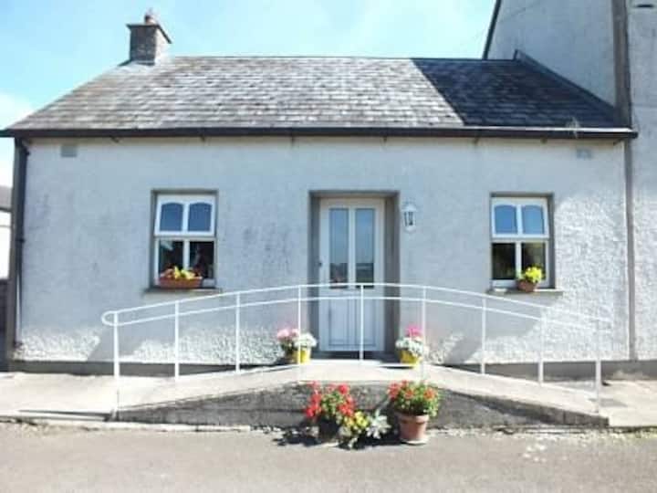 Millbrook Ho.Castle, unclassified · 810 yd
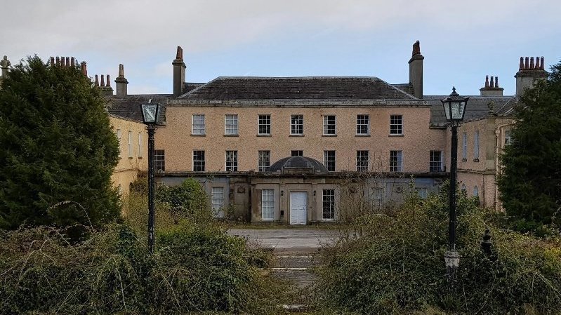 Enclosure in BallyconnorEnclosure · 1175 yd
 IndicatedFairy fort / earthen ringfort · 1282 yd
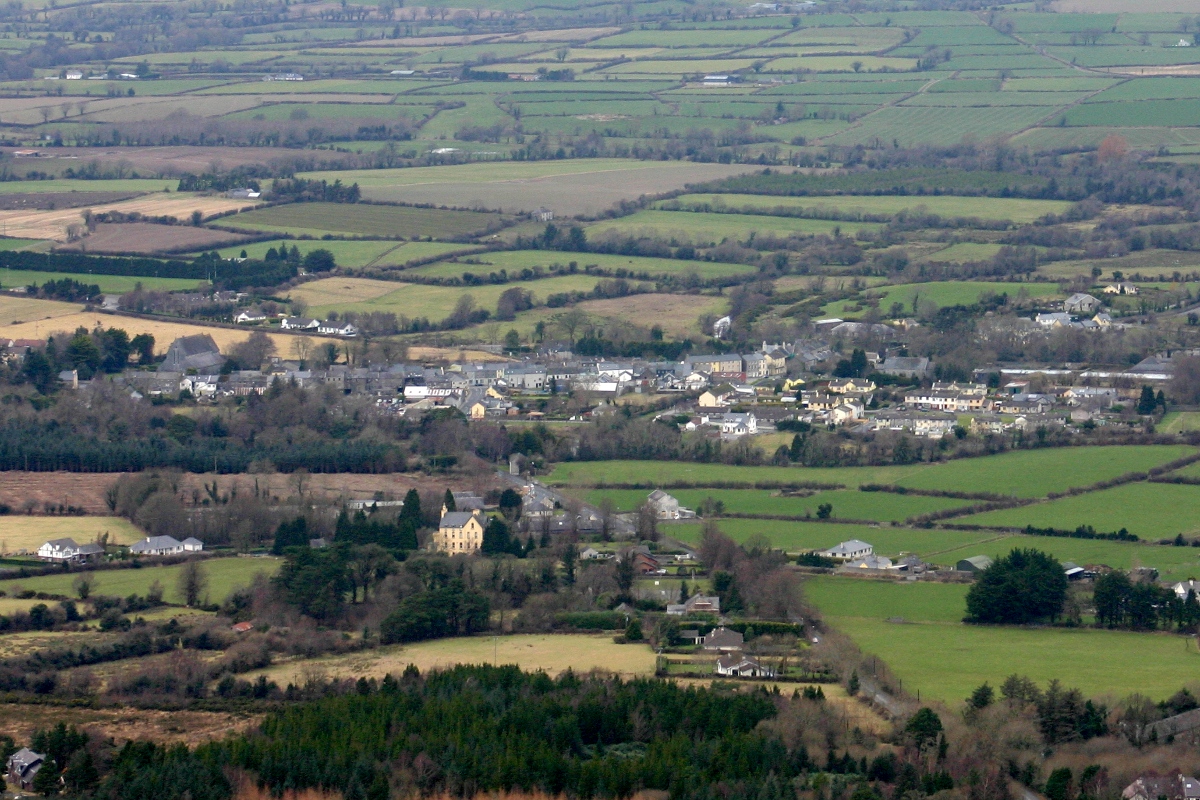 CastleCastle, unclassified · 1459 yd
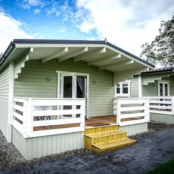 Ballinamona HouseHouse, indeterminate date · 1650 yd
 Knockacraheen HillMountain / peak · 1.1 mi
 Knockadigeen HillMountain / peak · 1.7 mi
 Killavalla WoodForest · 1.8 mi
 Sweet ChestnutSweet Chestnut · 4.6 mi
 Old BarracksHeritage attraction · 5.2 mi
 Nenagh Heritage CentreMuseum · 5.3 mi
Other information
Photo: Credit not shown in the picture search · Rights wording not checked; contact us if this picture should be removed