What is recorded here
Fairy fort / earthen ringfort in Curraghglass (Glenkeen parish) is a fairy fort or earthen ringfort in Curraghglass (Glenkeen parish), County Tipperary, Ireland. The partially levelled site holds a circular area about 48 metres across, enclosed by two earth and stone banks with a 5-metre-wide, 0.5-metre-deep ditch between them. The outer bank is the best preserved, surviving as a field fence from southwest through west to north, while the inner bank and ditch are visible at the south only.
Situated just below the brow of a hill on a S-facing slope in an upland area. A partially levelled bivallate ringfort consisting of a circular area (diam. 48m approx.) enclosed by two earth and stone banks with intervening fosse (Wth 5m; D 0.5m). The inner bank (Wth 3-6m; int. H 0.5m; ext. H 1.5-2.5m) and fosse are visible at S only, elsewhere destroyed. The outer bank (Wth 2.5m; ext. H 1.3m) is the best preserved and survives as a field fence from SW through W to N, elsewhere destroyed.
The above description is derived from 'The Archaeological Inventory of County Tipperary. Vol. 1 - North Tipperary' compiled by Jean Farrelly and Caimin O'Brien (Dublin: Stationery Office, 2002). In certain instances the entries have been revised and updated in the light of recent research.
Date of upload/revision: 22 September 2008
The monument record does not grant public access. Check the route and ask the landowner before entering private land.
- What survives
- Recorded monument
Places near here
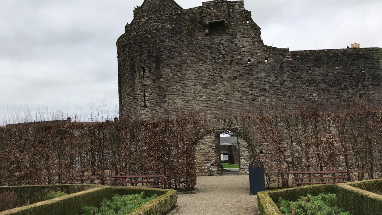 Enclosure in Curraghglass (glenkeen Par.),garrangrena LowerEnclosure · 995 yd
 Fulacht fia in AughnaheelaFulacht fia · 1053 yd
 Cloghaneena Castle (in ruins)Castle, tower house · 1471 yd
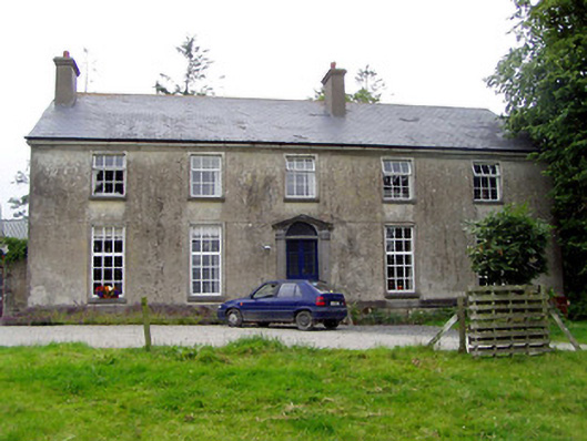 Glebe Houserectory/glebe/vicarage/curate's house · 1671 yd
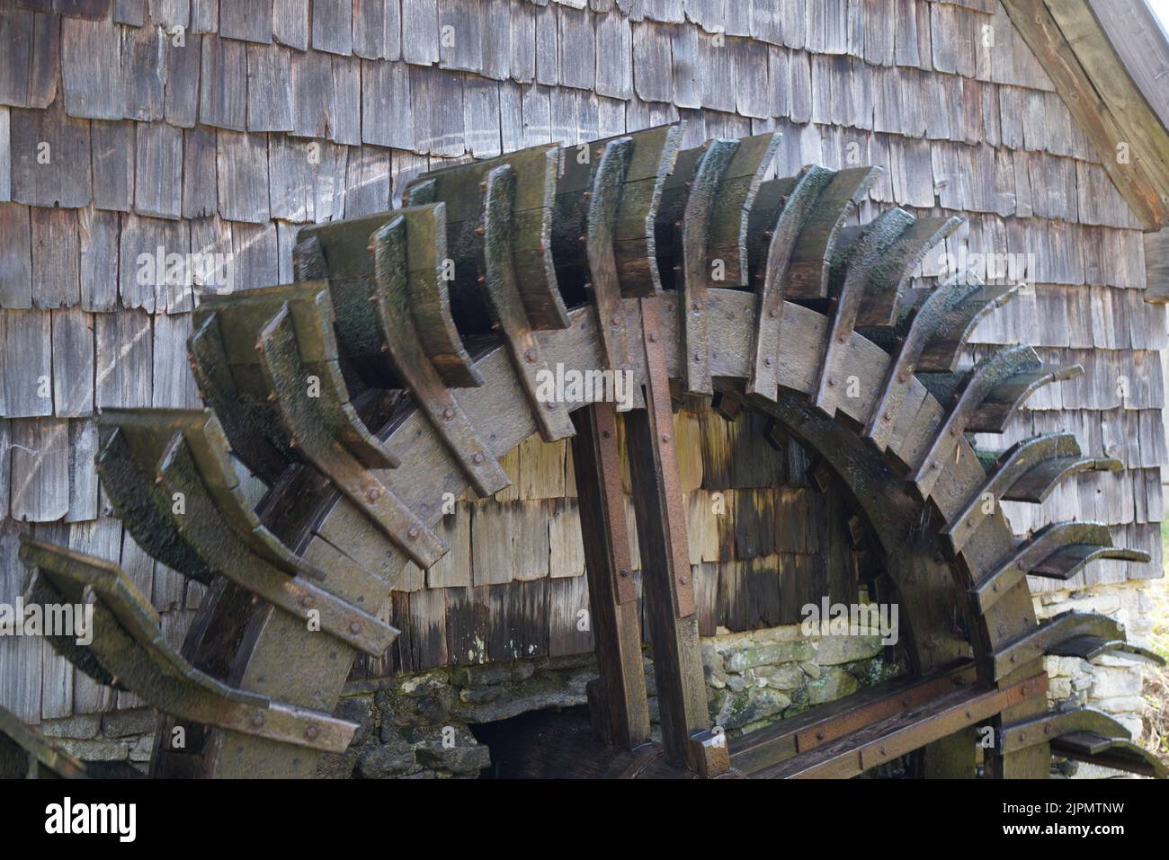 Water millWater mill, horizontal-wheeled · 1728 yd
 Castle (in ruins)Castle, tower house · 1.0 mi
 Kilvilcorris BogForest · 2.3 mi
 GortagarryMountain / peak · 2.9 mi
 Devil's Bit MountainMountain / peak · 4.1 mi
 Morris's GroveForest · 4.4 mi
 James Devaney MemorialMemorial · 12 mi
 The Barrackshouse · 1.0 mi