What is recorded here
Fairy fort / earthen ringfort in Curraghanuddy is a fairy fort or earthen ringfort in Curraghanuddy, County Tipperary, Ireland. The site sits on a southwest-facing slope in pasture and appears as a very low circular platform measuring 33.5 metres north-south and 34 metres east-west. It has a height of 0.66 metres with a concave interior, while a cattle track cuts across it from northeast to southwest. A slight dip around the exterior may indicate a former fosse.
Situated on a SW-facing slope in pasture. Depicted as a roughly circular area on the 1st ed. (1843) OS 6-inch map with only the W half depicted on the latest ed. (1904). The site has been levelled but is visible as a very low, circular platform (diam. 33.5m N-S; 34m E-W; H 0.66m) with a concave interior. A cattle track transects the site from NE to SW. The site slopes gently to the exterior and a slight dip around the exterior may indicate a fosse.
The above description is derived from 'The Archaeological Inventory of County Tipperary. Vol. 1 - North Tipperary' compiled by Jean Farrelly and Caimin O'Brien (Dublin: Stationery Office, 2002). In certain instances the entries have been revised and updated in the light of recent research.
Date of upload/revision: 22 September 2008
The monument record does not grant public access. Check the route and ask the landowner before entering private land.
- What survives
- Recorded monument
Places near here
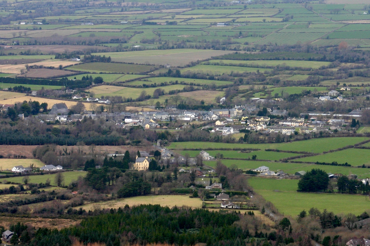 CastleCastle, unclassified · 765 yd
 LisnarahaCastle, ringwork · 804 yd
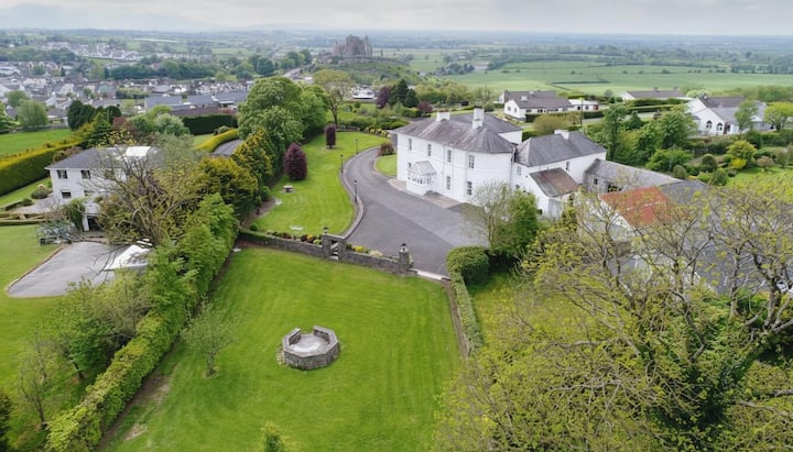 Enclosure in KilnaneaveEnclosure · 1190 yd
 IndicatedFairy fort / earthen ringfort · 1430 yd
 The Old Rectoryrectory/glebe/vicarage/curate's house · 1729 yd
 RoadRoad, road/trackway · 1.1 mi
 Knockadigeen HillMountain / peak · 1.6 mi
 Knockacraheen HillMountain / peak · 1.6 mi
 Killavalla WoodForest · 2.2 mi
 Sweet ChestnutSweet Chestnut · 3.7 mi
 Silvermines ViewpointViewpoint · 4.5 mi
 Our Lady Assumed into HeavenMemorial · 4.7 mi