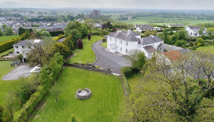
What is recorded here
Located at the base of a SE-facing slope in undulating terrain. A stream running roughly E-W was formerly adjacent to the S half of the site. Depicted as a circular enclosure on the 1st ed. (1843) OS 6-inch map but not indicated on the 1904 ed. Adjacent field boundaries have changed between the two map eds. and presumably the site was levelled when the field boundaries were altered. The site is transected by an E-W field boundary with no visible trace of the site S of this. The N half is discernible as a raised area (diam. c. 40m) surrounded by a fosse (Wth c. 4m; D 0.3m).
The above description is derived from 'The Archaeological Inventory of County Tipperary. Vol. 1 - North Tipperary' compiled by Jean Farrelly and Caimin O'Brien (Dublin: Stationery Office, 2002). In certain instances the entries have been revised and updated in the light of recent research.
Date of upload/revision: 22 September 2008
This remains an important historical record, but the official description says the monument is no longer visible or has been destroyed. The monument record does not grant public access. Check the route and ask the landowner before entering private land.
- What survives
- No visible remains or recorded as destroyed
Places near here
 IndicatedFairy fort / earthen ringfort · 506 yd
 LisnarahaCastle, ringwork · 729 yd
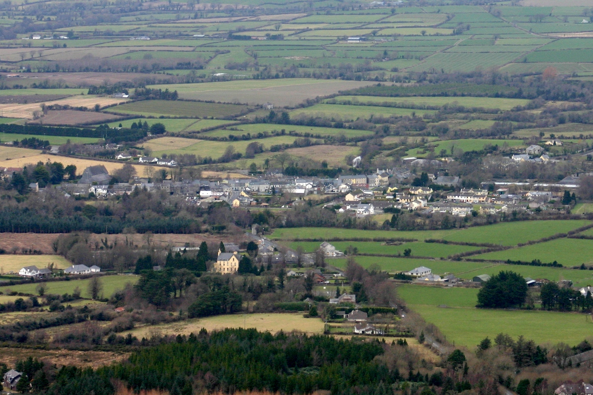 CastleCastle, unclassified · 878 yd
 All Saints Catholic Churchchurch/chapel · 1476 yd
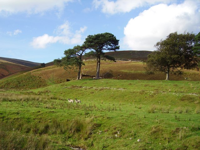 Hillfort in Cloghonan,knockadigeenHillfort · 1.1 mi
 Knockadigeen HillMountain / peak · 1.1 mi
 Ballincurra HillMountain / peak · 1.2 mi
 RoadRoad, road/trackway · 1.3 mi
 Killavalla WoodForest · 1.9 mi
 Sweet ChestnutSweet Chestnut · 3.9 mi
 Silvermines ViewpointViewpoint · 4.6 mi
 Our Lady Assumed into HeavenMemorial · 4.9 mi
Other information
Photo: Credit not shown in the picture search · Rights wording not checked; contact us if this picture should be removed