What is recorded here
Culleenmore once held a complete earthen ring on a south-facing slope, visible on maps before a house consumed its northern half. The surviving arc of earth and stone now marks a field boundary, hiding the forgotten entrance and lost ditch within ordinary farmland.
On a S-facing slope. Depicted as a circular enclosure on the 1837 ed. of the OS 6-inch map. The monument has been largely levelled due to the construction of a dwelling-house in the N sector. All that survives is a low bank of earth and stone, extending in an arc from NNE-E-ESE, which has been modified and incorporated into a field boundary. A report in 1978 (SMR file) recorded traces of an external fosse, which are no longer identifiable. The original entrance is not recognisable.
Compiled by: Patrick F. O'Donovan
Date of upload: 5 December 2011
The monument record does not grant public access. Check the route and ask the landowner before entering private land.
- What survives
- Recorded monument
Places near here
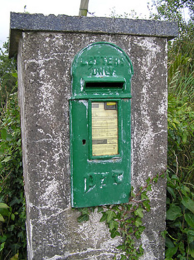 post boxpost box · 1410 yd
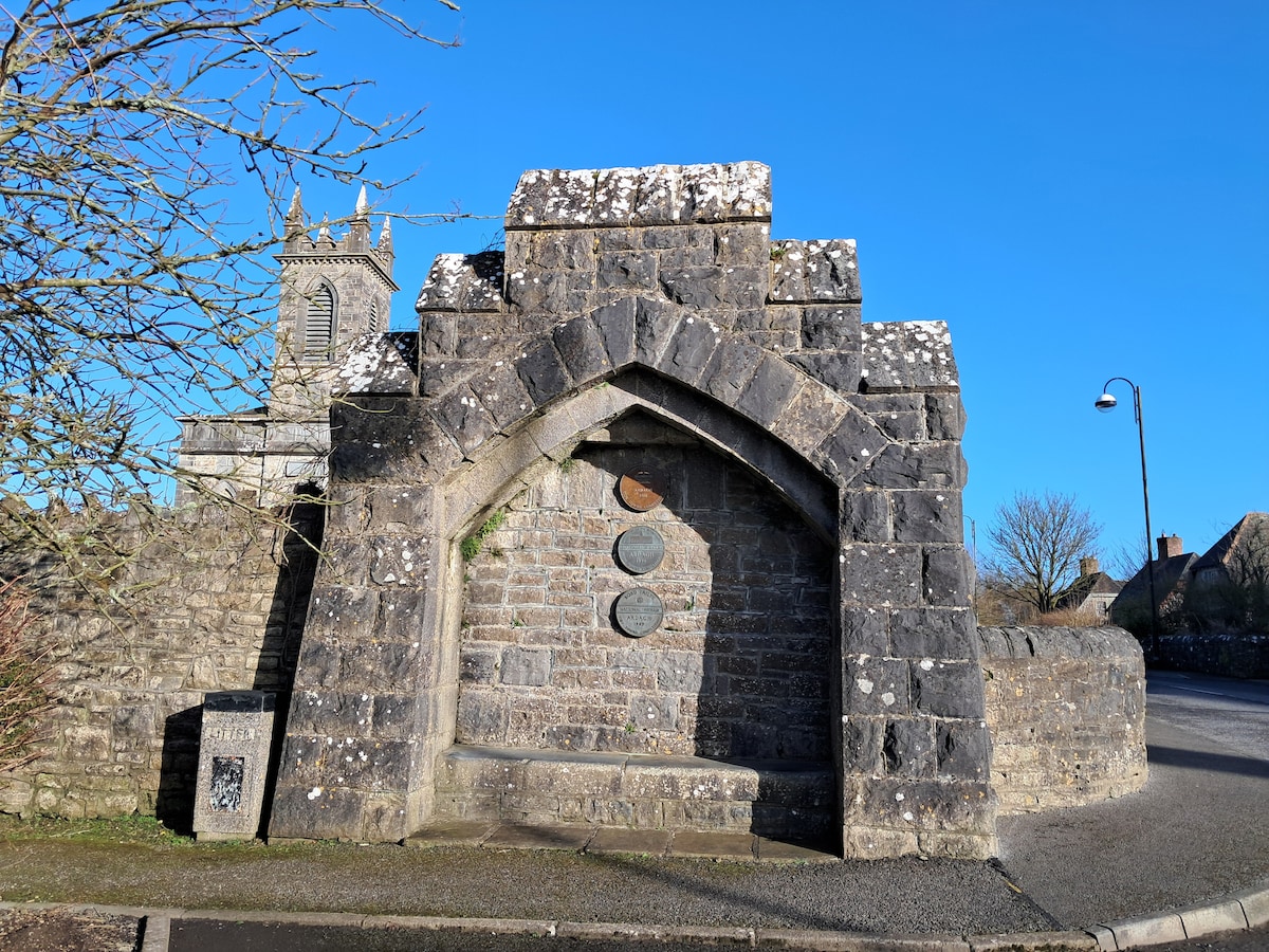 Enclosure in Cloonagh (granard By.)Enclosure · 1477 yd
 Lissakerry FortFairy fort / earthen ringfort · 1497 yd
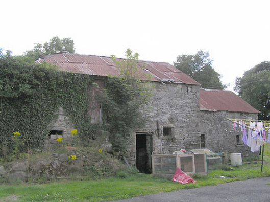 Clooneen Millmill (water) · 1715 yd
 ToomeMountain / peak · 1.1 mi
 CartronfreeMountain / peak · 1.6 mi
 IdicatedCastle, unclassified · 2.0 mi
 Derrycassan WoodsWood · 2.0 mi
 Cornamucklagh WoodlandWood · 2.7 mi
 InchmoreIslet · 3.0 mi
 Bakers FortCastle, ringwork · 3.4 mi
 1798 Monumentmonument · 3.4 mi