What is recorded here
Fairy fort in Culleenmore, County Longford: a 30 m circular enclosure on a south-east facing pasture slope, with an earth-and-stone bank four to six metres wide on the west and a cut scarp elsewhere. In 1978 an outside ditch and possible east entrance were still recorded, but levelling has since softened that side, leaving a raised triangular patch where the boundary once stood. The numbers make the shape plain even where the field has eaten the detail.
On a SE-facing slope in pasture. A raised circular area (diam. 30m) enclosed from W-WNW-NNW by a bank of earth and stone (Wth 4-5.7m; H 0.5-1.45m) and elsewhere defined by a scarp (H 0.3-2m). A report in 1978 (SMR file) recorded an external fosse and noted that the original entrance may have been at E but these features are no longer visible. Some levelling of the scarp has occurred at E and adjacent to it; in this sector there is a raised triangular area (14m N-S; 13m E-W) defined by a scarp (H 0.6-1.5m).
Compiled by: Patrick F. O'Donovan
Date of upload: 3 December 2011
The monument record does not grant public access. Check the route and ask the landowner before entering private land.
- What survives
- Recorded monument
Places near here
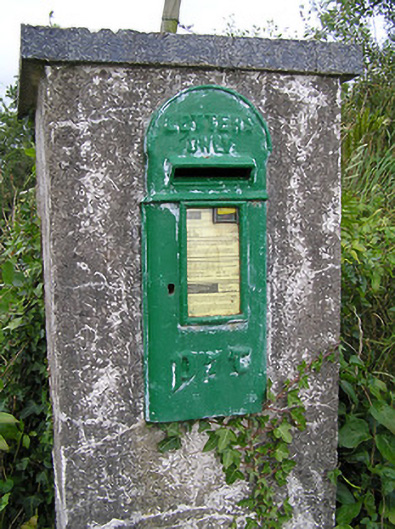 post boxpost box · 1164 yd
 BarrowBarrow, mound barrow · 1245 yd
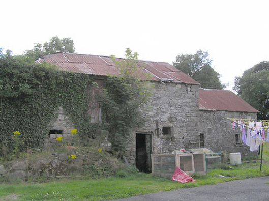 Clooneen Millmill (water) · 1406 yd
 Lissakerry FortFairy fort / earthen ringfort · 1544 yd
 ToomeMountain / peak · 1.2 mi
 CartronfreeMountain / peak · 1.4 mi
 IdicatedCastle, unclassified · 1.9 mi
 Derrycassan WoodsWood · 2.1 mi
 Cornamucklagh WoodlandWood · 2.9 mi
 InchmoreIslet · 3.1 mi
 Bakers FortCastle, ringwork · 3.2 mi
 1798 Monumentmonument · 3.3 mi