What is recorded here
No, that is an anglicisation of the Irish word for a ringfort, not a claim about fairies. Cúil Aodha holds a true rath: a circular earthen bank twenty-six metres across on a north-facing slope above the Sullane River. Its interior was raised where the hill fell away, and the remains of a small round hut still mark the centre. Gaps in the bank face north and west, perhaps entrances rather than damage. Trees have since grown inside the circle, softening the line people made when they first shaped that slope.
In pasture, on N-facing slope, overlooking Sullane River. Roughly circular area (26m N-S; 24m E-W) defined by earthen bank (max. int. H 1.2m) with shallow external fosse. Gaps in bank to N and W; stone-facing noted on external face to NW. Interior raised 2.3m on W side to compensate for hillslope; foundations of circular hut site (10m E-W; 9m N-S) at centre. Enclosure partially overgrown with deciduous trees.
The above description is derived from the published 'Archaeological Inventory of County Cork. Volume 3: Mid Cork' (Dublin: Stationery Office, 1997). In certain instances the entries have been revised and updated in the light of recent research.
Date of upload/revision: 14 January 2009
The monument record does not grant public access. Check the route and ask the landowner before entering private land.
- What survives
- Recorded monument
Places near here
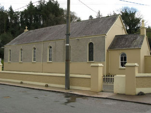 Séipéal Ghobnatan [Saint Gobnet's Catholic Church]church/chapel · 228 yd
 IndicatedFairy fort / stone ringfort · 439 yd
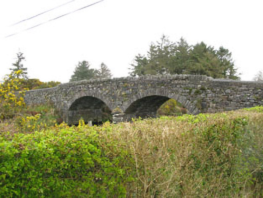 Milleeny Bridgebridge · 556 yd
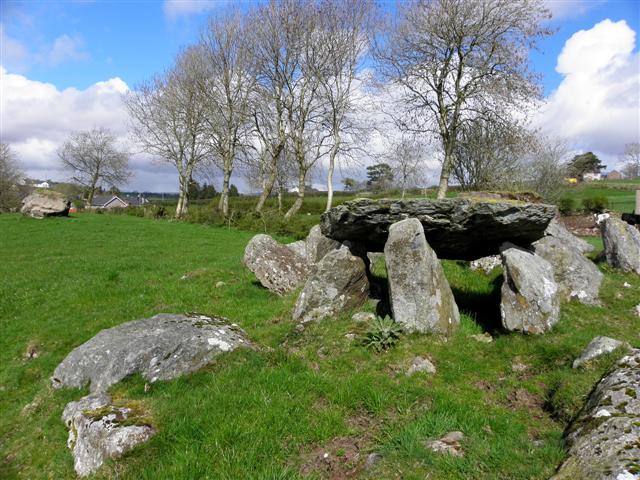 Wedge tomb in Cúil AodhaWedge tomb · 659 yd
 Sli Gaeltacht MuscraiWalking route · 1.8 mi
 CastleCastle, unclassified · 1.8 mi
 European long distance path E8 - part IrelandWalking route · 2.2 mi
 Cascade WoodWood · 2.3 mi
 Castle (Site of)Castle, unclassified · 2.4 mi
 Kealaboane WoodWood · 2.5 mi
 KnockacommeenMountain / peak · 3.2 mi
 An Coimín BuíMountain / peak · 3.2 mi