What is recorded here
Fairy fort / earthen ringfort in Cronin is a fairy fort or earthen ringfort in Cronin, County Roscommon, Ireland. It occupies a gentle south-facing slope as a D-shaped grass-covered area measuring 29.4 metres northwest-southeast and about 17 metres northeast-southwest. An earthen bank 3.4 to 3.5 metres wide defines the perimeter, showing slight traces of a fosse and standing beside a nearby Rath and man-made underground passage site.
On a gentle S-facing slope. D-shaped grass-covered area (dims 29.4m NW-SE; c. 17m NE-SW) defined by an earthen bank (Wth 3.4-3.5m; int. H 0.2-0.45m; ext. H 0.7-0.85m) with slight traces of a fosse (Wth of base 1.5m), which is circumscribed by a field wall SSE-SW. There is no identifiable original entrance and a NW-SE field wall truncates the perimeter NE of the centre and the monument does not survive visibly NE of this feature. Rath (RO047-009001-) is c. 50m to the NW and Man-made underground passage site (RO047-067----) is c. 30m to the SE.
Compiled by: Michael Moore
Date of upload: 24 August 2010
The monument record does not grant public access. Check the route and ask the landowner before entering private land.
- What survives
- Recorded monument
Places near here
 Cronin FortFairy fort / earthen ringfort · 96 yd
 Embanked enclosureFairy fort / earthen ringfort · 397 yd
 Inchnaveague IslandIslet · 1.6 mi
 InchnagowerIslet · 1.8 mi
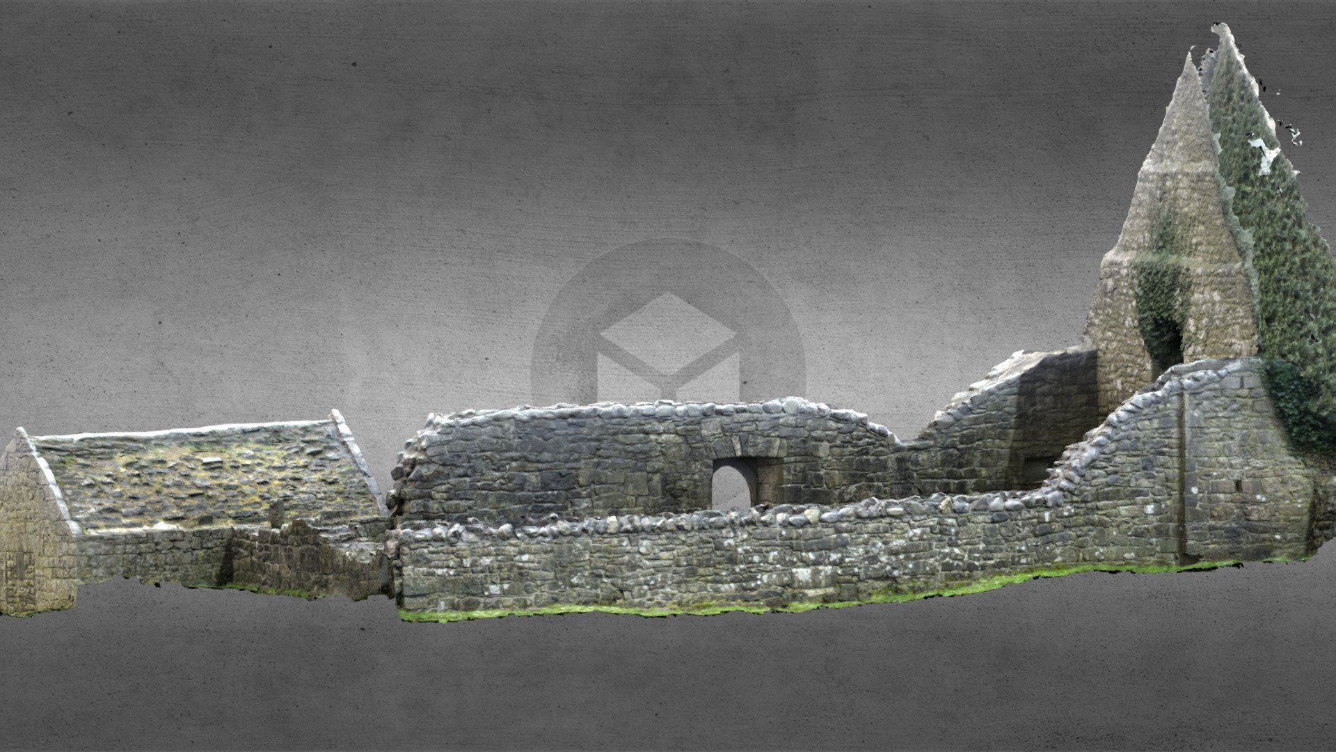 Church (in Ruins)Church · 1.8 mi
 Church in Cloghan,curraghadoonChurch · 2.0 mi
 CastleCastle, unclassified · 2.1 mi
 Castle (Site of)Castle, unclassified · 4.1 mi
 Sheep HillMountain / peak · 5.1 mi
 Aughrane WoodsForest · 6.4 mi
 LismoneyForest · 6.6 mi
 Mount MaryMountain / peak · 9.5 mi