What is recorded here
Fairy forts are often dismissed as fantasy, but this is a real ringfort in Creagh, County Longford, with a measurable twenty-eight-metre diameter, a low earth-and-stone bank, a shallow outer ditch, and a possible western entrance. The name suggests people once imagined fairies occupying the place, yet the visible structure is human: a small defended or domestic enclosure cut into a NE-facing pasture slope. Maybe it was a farmstead, a refuge, or a boundary marker for a local family. Either way, the fairies belong to the story people told later, not the bones of the building.
On a NE-facing slope in low-lying pasture. A slightly raised circular area (diam. c. 28m) enclosed from W-N-NE by a low bank of earth and stone (Wth 2.4m; H 0.1m) and elsewhere defined by a scarp (H 0.5m). At the exteranl base of the scarp at S are traces of a fosse (Wth 2.5m; D 0.1m). A break (Wth 1.5m) in the bank at W may mark the original entrance. Some outcropping rock is evident within the interior.
Compiled by: Patrick F. O'Donovan
Date of upload: 3 December 2011
The monument record does not grant public access. Check the route and ask the landowner before entering private land.
- What survives
- Recorded monument
Places near here
 IndicatedFairy fort / earthen ringfort · 546 yd
 Enclosure in Cartronawar (rathcline By.)Enclosure · 707 yd
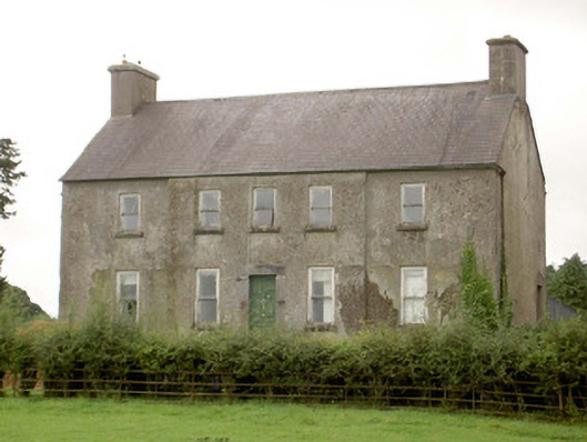 Glenmore Househouse · 770 yd
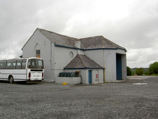 church/chapelchurch/chapel · 778 yd
 CastleCastle, unclassified · 1.4 mi
 Corlea Bog Walk Canal BranchWalking route · 1.6 mi
 Corlea Trackway Interpretative CentreHeritage attraction · 1.9 mi
 Barry CastleCastle, unclassified · 2.0 mi
 Corlea Bog Walk Blue LoopWalking route · 2.2 mi
 Graveyard in Curry (ardagh By., Coolamber Ed)Graveyard · 5.3 mi
 Leveret IslandIslet · 6.3 mi
 InchbofinIslet · 7.2 mi