What is recorded here
No fairy fort, no mystery. A ringfort in County Cork: a circular grassy area twenty-nine metres across, enclosed by a low earthen bank with a gap toward the east. The interior is level except for faint undulations. Whatever lived there stopped leaving a shape, but the boundary remains.
In pasture, on NE-facing slope. Circular, slightly raised area (29.8m N-S; 26.6m E-W) enclosed by earthen bank (H 0.7m). Gap in bank to ESE. Interior level; low undulations noted, forming no definite pattern.
The above description is derived from the published 'Archaeological Inventory of County Cork. Volume 2: East and South Cork' (Dublin: Stationery Office, 1994). In certain instances the entries have been revised and updated in the light of recent research.
Date of upload/revision: 14 January 2009
The monument record does not grant public access. Check the route and ask the landowner before entering private land.
- What survives
- Recorded monument
Places near here
 CarnCairn, unclassified · 1072 yd
 Fulacht fia in Walshtown More (east)Fulacht fia · 1.0 mi
 Clonmult Ambush SiteBattlefield · 1.3 mi
 sign postsign post · 1.4 mi
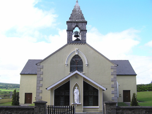 Saint Lawrence's Roman Catholic Churchchurch/chapel · 1.4 mi
 Dungourney Caslte (Site of)Castle, unclassified · 1.6 mi
 Castle (Site of)Castle, unclassified · 3.2 mi
 Leahy's Open FarmHeritage attraction · 3.3 mi
 Graveyard in Broomfield WestGraveyard · 3.7 mi
 Curragh WoodsWood · 4.5 mi
 Midleton IRA MonumentMemorial · 4.6 mi
 N25 Picnic SitePicnic place · 4.6 mi