What is recorded here
Fairy forts hide from human eyes. The fort in Corrool resisted visibility for centuries, but ploughs and boots erased it completely. You can still stand on the low ridge where a thirty-five metre circle once caught the light. The fairies did not leave; they taught the land to forget them.
On a low ridge in pasture. Depicted as a circular enclosure with the designation 'Fort' on the 1837 ed. of the OS 6-inch map. A report in 1976 (SMR file) recorded that, although largely levelled, the outline of a circular bank of earth and stone (int. diam. c. 35m) was evident. Further levelling has since occurred and the monument is not visible at ground level.
Compiled by: Patrick F. O'Donovan
Date of upload: 3 December 2011
The monument record does not grant public access. Check the route and ask the landowner before entering private land.
- What survives
- Recorded monument
Places near here
 IndicatedFairy fort / earthen ringfort · 1291 yd
 CastleBawn · 1454 yd
 dovecote/pigeon house/aviarydovecote/pigeon house/aviary · 1516 yd
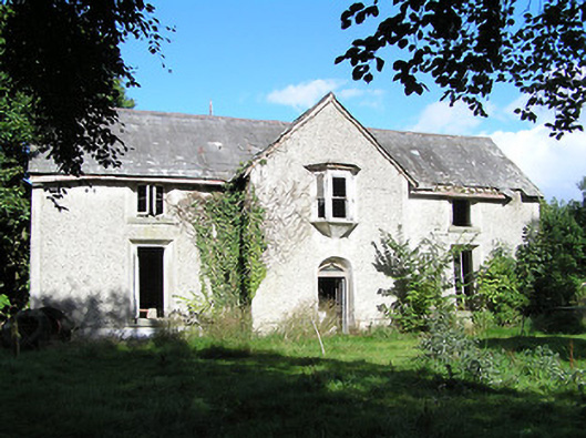 Ballyorney Househouse · 1735 yd
 Lady WellHoly well · 1.2 mi
 Bush IslandIslet · 1.3 mi
 Culnagore WoodForest · 1.4 mi
 Elfeet CastleCastle, Anglo-Norman masonry castle · 1.7 mi
 Elfeet BayBay · 1.8 mi
 Leveran IslandIslet · 2.0 mi
 Pollagh BayBay · 2.0 mi
 RindoonWood · 3.3 mi