What is recorded here
On a slight W-facing slope. Subcircular grass-covered area (dims 26m E-W; 22.3m N-S) defined by an earthen bank (Wth 2.7-4m; int. H 0.2-0.5m; ext. H 0.9-1.2m), which is reduced to a scarp down to the interior (H 0.1m) N-SE. There is no visible fosse or identifiable original entrance. The interior is overlain by a WNW-ESE field wall that is met by a NNE-SSW field wall on the N side. Rath (RO022-133----) is c. 130m to the NE.
Compiled by: Michael Moore
Date of upload: 24 August 2010
The monument record does not grant public access. Check the route and ask the landowner before entering private land.
- What survives
- Recorded monument
Places near here
 IndicatedFairy fort / earthen ringfort · 647 yd
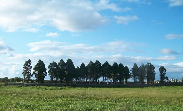 Grave YardGraveyard · 987 yd
 Kilcooley Church (in Ruins)Church · 1001 yd
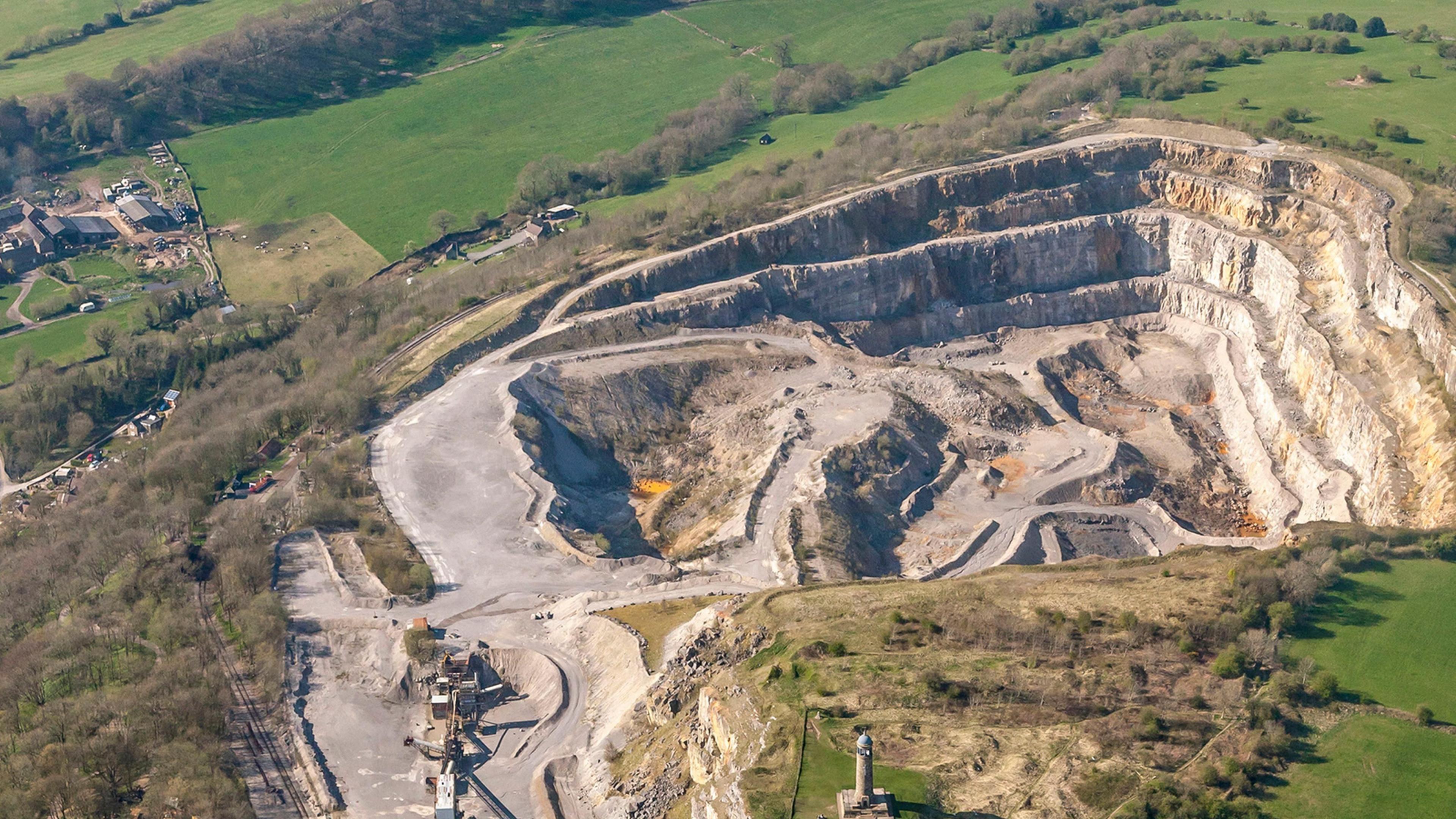 Quarry in Ardkeenagh (roscommon By.)Quarry · 1.2 mi
 CastleCastle, unclassified · 2.1 mi
 Cruachan Aí Heritage CentreMuseum · 2.1 mi
 ToberagullaSpring · 3.0 mi
 European ashEuropean ash · 3.0 mi
 Sweet ChestnutSweet Chestnut · 4.1 mi
 Leitrim CastleCastle, unclassified · 4.2 mi
 Strokestown House GardensHeritage attraction · 4.3 mi
 Ballyclare IslandIslet · 11 mi