What is recorded here
Fairy forts are earthen rings people built, not caves or dishes dropped from the sky. In Corkeeran, a circular earthwork sat at the south end of a drumlin ridge, drawn on Ballybay estate maps in 1786, though no trace remains visible today. The fairness in the name is local pride or mockery, not proof of fairy building. What is certain is that people shaped that ridge, marked it, and forgot it.
Situated at the S end of a N-S drumlin ridge. A circular earthwork is depicted here on maps of the Ballybay estate by N. Willoughby (1786). No archaeological feature is visible on aerial images.
The above description is derived from the published 'Archaeological Inventory of County Monaghan' (Dublin: Stationery Office, 1986). In certain instances the entries have been revised and updated in the light of recent research.
Revised by: Michael Moore
Date of revision: 22 July 2018
The monument record does not grant public access. Check the route and ask the landowner before entering private land.
- What survives
- Recorded monument
Places near here
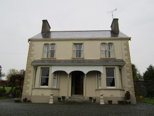 Rosemountmanse · 102 yd
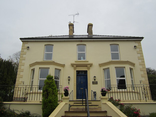 Cuan Mhuirehouse · 111 yd
 IndicatedFairy fort / earthen ringfort · 611 yd
 The Rabbit BurrowWood · 981 yd
 Ballybay Wetland CentreNature reserve · 1708 yd
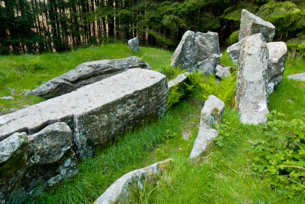 Giants GraveMegalithic tomb · 1.7 mi
 LisnaspeenanMountain / peak · 5.6 mi
 Fedd HillMountain / peak · 5.9 mi
 Lough Egish IslandIslet · 6.3 mi
 IllanshivansIslet · 6.3 mi
 Senator Billy Fox 1939 - 1974Memorial · 7.1 mi
 Bawn in LisdrumskeaBawn · 9.7 mi