What is recorded here
Clear views in all directions across the Goul river valley, and a level interior wide enough for thirty paces, make Coolnacrutta less like a hidden fairy cave than a watched room set into open grassland. The earthworks still describe that room: a broad bank, a narrow ditch, an outer bank, and an eastern gap where the causeway once cut through. Whatever life moved inside, it did so where any traveller could be seen coming.
In rolling grassland on floor of Goul river valley. Clear views in all directions across valley. Adjacent fields all cultivated grassland. Circular area (int. diam. 40m) enclosed by a bank (Wth at top 2.5m; overall Wth 6m; ext. H 2m), an intervening flat-bottomed V-shaped fosse (Wth 2m) and outer bank (int. H 1.4m; ext. H c. 0.4m; Wth 2m). Level, featureless interior. There is an entrance gap (Wth c. 3m) and causeway at E. The fosse has been partially infilled at this point.
Compiled by: Jean Farrelly
Date of upload: 27 January 2016
The monument record does not grant public access. Check the route and ask the landowner before entering private land.
- What survives
- Recorded monument
Places near here
 Enclosure in CoolnacruttaEnclosure · 1234 yd
 Enclosure in Oldtown (clanmallagh By.)Enclosure · 1434 yd
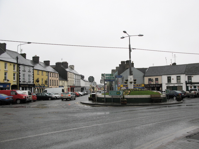 RathkilmurryChurch · 1537 yd
 Bawn in AghmacartBawn · 1708 yd
 Abbey (in ruins)Religious house, unclassified · 1720 yd
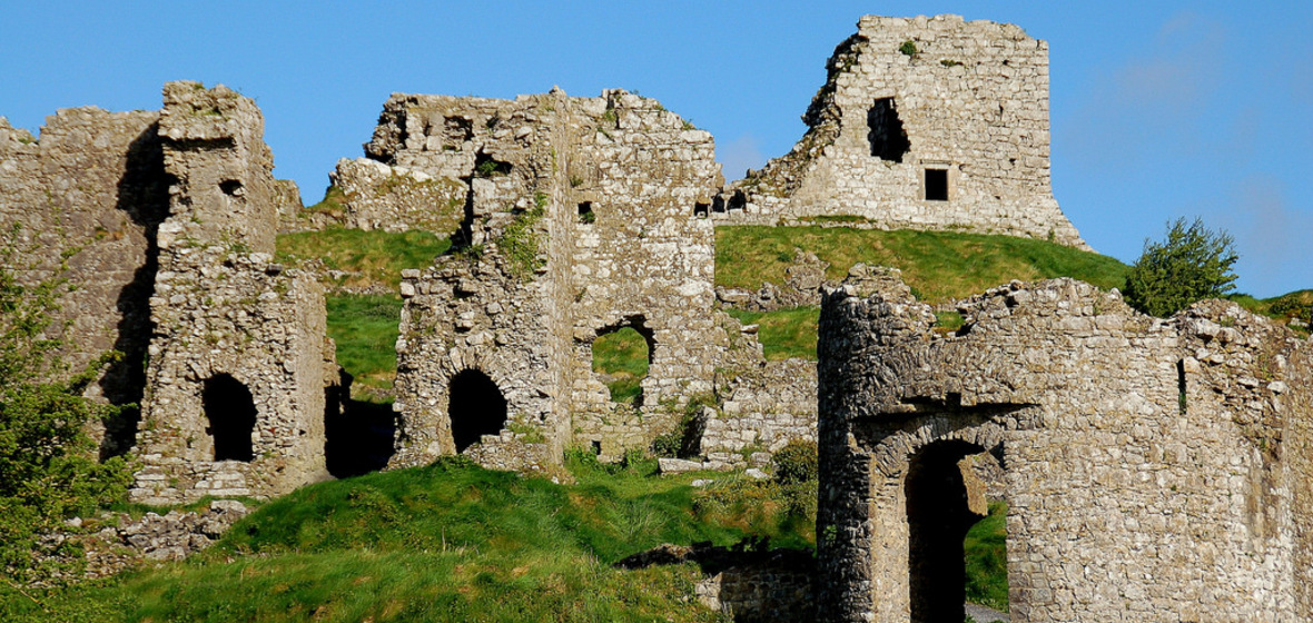 Castle (in Ruins)Castle, tower house · 1732 yd
 Street fieldArchaeological place · 1.3 mi
 Cnoc SeanrathaMemorial · 3.1 mi
 Big WoodWood · 3.4 mi
 DelaneyMemorial · 4.2 mi
 Clomantagh HillMountain / peak · 4.6 mi
 Anker's IslandIsland · 6.7 mi