
What is recorded here
Cropmark of a circular-shaped enclosure visible on Google Earth aerial photograph taken 28/06/2018.
See attached Google Earth image taken 28/06/2018
Compiled by: Caimin O'Brien based on details kindly provided by Paul Walsh
Date of upload: 28 January 2019
The monument record does not grant public access. Check the route and ask the landowner before entering private land.
- What survives
- Recorded monument
Places near here
 Abbey (in ruins)Religious house, unclassified · 420 yd
 Enclosure in Scrub and GlenmacollaEnclosure · 608 yd
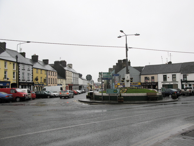 RathkilmurryChurch · 678 yd
 Enclosure in ParknahownEnclosure · 754 yd
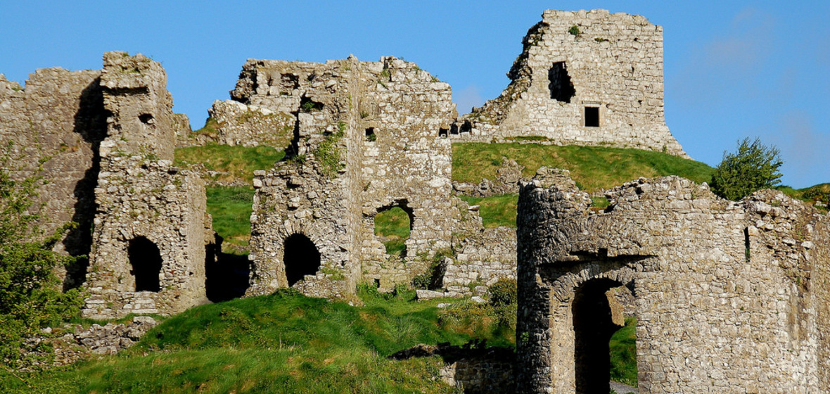 Castle (in Ruins)Castle, tower house · 1.0 mi
 Bawn in AghmacartBawn · 1.0 mi
 Street fieldArchaeological place · 1.5 mi
 Big WoodWood · 3.3 mi
 Cnoc SeanrathaMemorial · 3.9 mi
 DelaneyMemorial · 4.5 mi
 Clomantagh HillMountain / peak · 4.5 mi
 Anker's IslandIsland · 5.9 mi
Other information
Photo: Credit not shown in the picture search · Rights wording not checked; contact us if this picture should be removed