
What is recorded here
In flat low-lying pasture with the River Goul c. 70m to W. There are good views across the valley in all directions. Indicated on the 1st (1839) ed. OS 6-inch map as a D-shaped enclosure (dims. c. 32m N-S) with a straight E side. There enclosure was not visible at ground level when inspected in 1987, however, indications of a circular enclosure are visible on the OS Ortho image.
Compiled by: Jean Farrelly
Date of upload: 9 September 2015
The monument record does not grant public access. Check the route and ask the landowner before entering private land.
- What survives
- Recorded monument
Places near here
 Church in Kyle (clandonagh By., Kyle South Ed)Church · 1.0 mi
 Bawn in AghmacartBawn · 1.1 mi
 Aghmacart Churchchurch/chapel · 1.2 mi
 Round tower in AghmacartRound tower · 1.2 mi
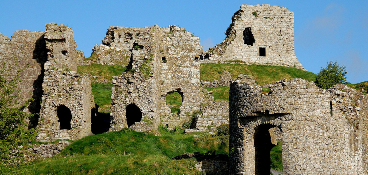 Castle (in Ruins)Castle, tower house · 1.2 mi
 Grave YardGraveyard · 1.2 mi
 Street fieldArchaeological place · 1.8 mi
 Cnoc SeanrathaMemorial · 2.5 mi
 Big WoodWood · 3.4 mi
 DelaneyMemorial · 4.3 mi
 Clomantagh HillMountain / peak · 5.0 mi
 Anker's IslandIsland · 7.4 mi
Other information
Photo: Credit not shown in the picture search · Rights wording not checked; contact us if this picture should be removed