What is recorded here
Much of the fort has gone, leaving only a shallow disc of packed earth thirty metres across on a wet rise. What remains is a flat-topped shadow in the pasture, perhaps the last visible edge of a rath that once stood complete. The missing bank may have been taken for fuel, field boundary or simply forgotten through generations of ploughing and grazing.
On a rise in low-lying pasture. This much-denuded, flat-topped, slightly raised circular area (diam. c. 30m; H 0.2m) is possibly the remains of a rath.
Compiled by: Patrick F. O'Donovan
Date of upload: 30 November 2011
The monument record does not grant public access. Check the route and ask the landowner before entering private land.
- What survives
- Recorded monument
Places near here
 IndicatedFairy fort / earthen ringfort · 437 yd
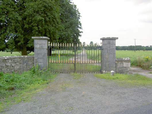 Richfortgates/railings/walls · 493 yd
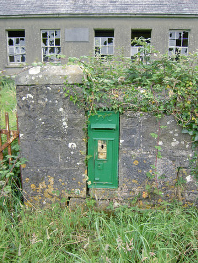 post boxpost box · 1185 yd
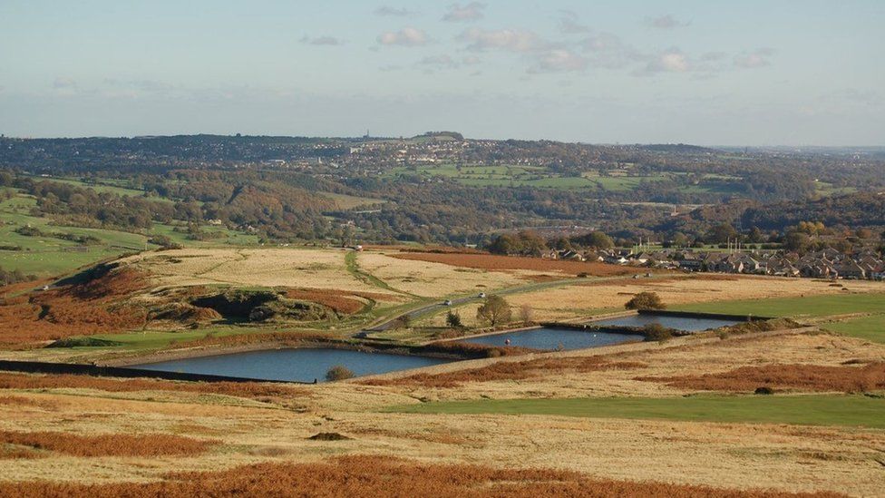 Enclosure in MoorEnclosure · 1.2 mi
 Oldtown CopseWood · 1.4 mi
 Oldtown DemesneForest · 1.5 mi
 Ardagh DemesneFort · 1.7 mi
 Druming Ho. (in ruins)Castle, unclassified · 1.7 mi
 National Famine WayWalking route · 2.4 mi
 Graveyard in Curry (ardagh By., Coolamber Ed)Graveyard · 4.2 mi
 First World War MemorialMemorial · 4.5 mi
 Saint Mel's CathedralCathedral · 4.5 mi