What is recorded here
Fairy fort / earthen ringfort in Cooleagh (Cooleagh parish) is a fairy fort or earthen ringfort in Cooleagh (Cooleagh parish), County Tipperary, Ireland. It is a substantial multivallate ringfort with a circular interior about 20 metres across, bounded by several banks and ditches, including a well-preserved outer bank 7.4 metres wide and an outer ditch 8.65 metres wide that is shallow in the south quadrant and cut along its outer edge in the west quadrant by a north-south regional road. The banks are breached at the south-southwest, and the interior is very uneven, poorly drained and covered in dense grasses and yellow flags about 1.8 metres high.
In improved pasture to S and unimproved pasture to N and E; generally level with a slight tilt downslope to E. A multivallate ringfort (TS062-051----) is located c. 40m to NW. A substantial multivallate ringfort comprising of circular area (diam. c. 20m) defined by low bank (overall Wth 8.4m; Wth at top 2.4m; int. H 0.6m; ext. H 1.2m), which is breached (Wth 4m) at SSW; a wide, flat-bottomed fosse (overall Wth 11.7; basal Wth 4m; D 1.85m max.); a substantial bank (overall Wth 8.4m; Wth at top 1.5m; int. H 1.85m; ext. H 1.6m) which slopes inwards at top on inner side and is breached (Wth 4m) at SSW and shallow breach (Wth 2m) at WNW; a flat-bottomed fosse (overall Wth 6.3m; basal Wth 2.9m; D 1.6m max.); a low and relatively narrow bank (overall Wth 4.2m; Wth at top 2.3m; int. H 0.7m; ext. H 0.5m) which is breached (Wth 5m) at SSW and is reduced to scarp (Wth 1.2m; H 0.3m) NE-SE where it appears berm-like; a relatively narrow and shallow fosse (overall Wth 5m; basal Wth 2m; max. D 1.15m) which is poorly defined in the E quadrant; a substantial and well preserved outer bank (overall Wth 7.4m; Wth at top 1.4m; int. H 1.6m; ext. H 1.2m), which is flat topped in places except around the NW-arc where the top tilts inwards (Wth 1.7m; H 0.45m), it is breached (Wth 6m) at SSW, and an outer fosse (overall Wth 8.65m; basal Wth 2.4m; D 1.2m max.) which is well preserved from NW-N-SE, shallow in the S quadrant and truncated along its outer edge in the W quadrant by a regional road running N-S. The interior is very uneven, poorly drained and completely covered in dense grasses and yellow flags (H c. 1.8m). There is dense vegetation around the perimeter of the monument. The ringfort was visited by Cahill (1982) in 1975 who noted the 'possibility of internal sub-divisions and/or house site' within the interior.
Compiled by: Jean Farrelly
Date of upload: 26 August 2011
The monument record does not grant public access. Check the route and ask the landowner before entering private land.
- What survives
- Recorded monument
Places near here
 LismortaghFairy fort / earthen ringfort · 139 yd
 EnclosureEnclosure, large enclosure · 492 yd
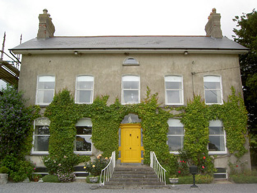 Lismortagh Househouse · 644 yd
 Church in ruins, Grave YardChurch · 758 yd
 CastleCastle, unclassified · 1397 yd
 Mortlestown Castle RuinCastle · 1537 yd
 Eagle HillMountain / peak · 2.4 mi
 Kilknockan HillMountain / peak · 3.1 mi
 Noan WoodWood · 3.9 mi
 East GateMemorial · 4.2 mi
 European YewEuropean Yew · 4.3 mi
 Gobban Saer's GraveArchaeological place · 5.4 mi