What is recorded here
Fairy forts are no longer called forts. They are rooms the land keeps closed. In Coolawaleen the room is buried under barley, but the fence line still shows in aerial photographs as a shallow circular scar. Bowman measured thirty-three yards of rampart in 1934. The field has since been flattened and refenced, yet the shape remains visible when crops grow unevenly. What was built there has been forgotten. The earth remembers the edge of the entrance and the curve of the wall. People come and go. The circle waits patient under the soil.
In tillage, on gentle NW-facing slope. According to local information, site of fort in field. Surrounding field fences removed. Roughly circular enclosure visible as cropmark of fosse in aerial photograph (CASAP). Bowman (1934, 33) recorded levelled single-ramparted fort (diam. c. 33yd) on M. O'Connell's land.
The above description is derived from the published 'Archaeological Inventory of County Cork. Volume 4: North Cork' (Dublin: Stationery Office, 2000). In certain instances the entries have been revised and updated in the light of recent research.
Date of upload/revision: 14 January 2009
A fairy fort or earthen ringfort in Coolawaleen, likely an early-medieval defensive or domestic site, is visible as a cropmark fosse in aerial photographs. Local tradition refers to it as a fairy fort, reflecting the common association of such earthworks with supernatural or otherworldly folklore in Irish tradition.
The monument record does not grant public access. Check the route and ask the landowner before entering private land.
- What survives
- Recorded monument
Places near here
 Castle Magner (in Ruins)Bawn · 903 yd
 Man-made underground passage in Kilpatrick (duhallow By.)Man-made underground passage · 945 yd
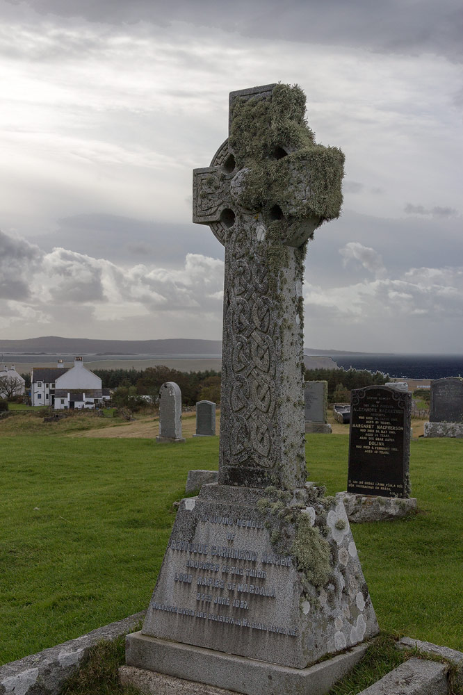 Grave YdGraveyard · 951 yd
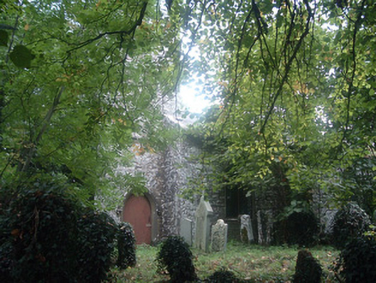 Saint Bridget's Church (Castlemagner)church/chapel · 961 yd
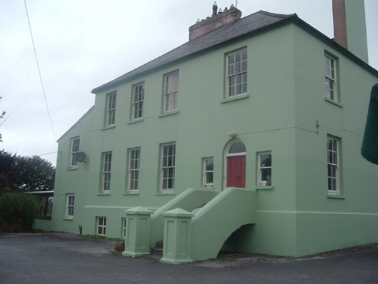 The Old Rectoryrectory/glebe/vicarage/curate's house · 982 yd
 Graveyard in Ballygiblin (duhallow By.)Graveyard · 1.4 mi
 Lohort CastleCastle, tower house · 1.4 mi
 European YewEuropean Yew · 1.4 mi
 Burial ground in AssolasBurial ground · 1.6 mi
 St Fursey's WellSpring · 2.7 mi
 Mount Hillary - Knightfield LoopWalking route · 3.2 mi
 Mount Hillary - Mount Hillary LoopWalking route · 3.5 mi