What is recorded here
On a low rise in pasture. Depicted as a circular enclosure with the designation 'Fort' on the 1837 ed. of the OS 6-inch map. The monument is not visible at ground level. However, a curve in the field bank from SSW-SW-WSW may mirror its outline.
Compiled by: Patrick F. O'Donovan
Date of upload: 26 August 2011
The monument record does not grant public access. Check the route and ask the landowner before entering private land.
- What survives
- Recorded monument
Places near here
 Enclosure in AghinaspickEnclosure · 467 yd
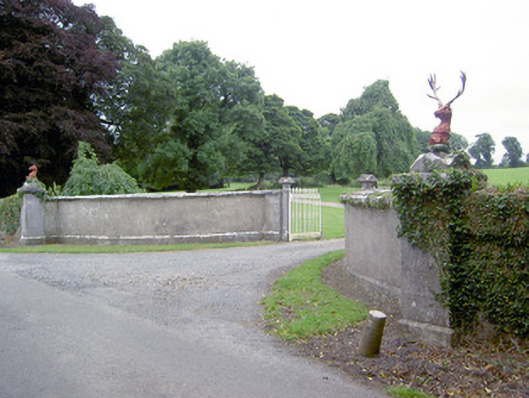 Castlereagates/railings/walls · 1381 yd
 Abbeyderg (in Ruins)Religious house, Augustinian canons · 1560 yd
 Grave YardGraveyard · 1580 yd
 Bawn in CastlereaBawn · 1670 yd
 National Famine WayWalking route · 1.0 mi
 Bawn Castle & NunneryHouse, fortified house · 1.9 mi
 Graveyard in Curry (ardagh By., Coolamber Ed)Graveyard · 3.0 mi
 Corlea Bog Walk Canal BranchWalking route · 3.5 mi
 Corlea Trackway Interpretative CentreHeritage attraction · 3.6 mi
 White Sand WoodWood · 8.5 mi
 Wild birdsVisitor information · 8.6 mi