
What is recorded here
In wet low-lying pasture, c. 40m to the SW of a stream, and in the E end of graveyard (LF018-066002-). Founded shortly before 1199 by Gormghall Ó Cuinn (Ó Riain 2010, 41). Dedicated to St Peter; in 1540 it was one of five monasteries in the Annaly region that was surrendered to Henry VIII (Gwynn and Hadcock 1970, 156).Granted to Shane O'Ferald in 1551-2 (Nicholls 1994, vol. 1, 186) and in 1567 to Thomas Byram (ibid., vol. 2, 124). Named 'Derge Abbey' on an early 17th-century map of Moydow barony (BL, Cotton MS Augustus I.ii.28), where a possible crossing tower or castellated transept chapel is shown rising above the roofline. The Down Survey (1655-6) map of Taghsheenod parish records the lands of 'Abby Derry' as 'Colledge Land in possession of Sr James Ware' (NLI, MS 719). Described in the late 17th century as 'the ruins of a Priory of the Cannons of St. Augustines Order called Derg or Monasterderg' (Downing 1932, 22).
Remains comprise a nave and chancel church (int. dims. 23m E-W; 5.95m N-S; wall T 0.8m) constructed of rubble masonry with cut and dressed alternating quoins. There appears to have been a small square-shaped tower (int. dims. 5.9m N-S; 5.9m E-W) at the W end. It is not clear if it is contemporary with the priory or whether it was added in the late medieval period.
The E end of the church is best preserved; the E gable and E ends of the N (L 8.9m) and S (L 9.2m) walls of the chancel survive to full height, elsewhere the walls are defined by low wall-footings. Three single-light pointed lancet windows in the E gable and two similar windows in the S wall are the only surviving architectural features. They are made of sandstone and are set in widely splayed round-arched embrasures. They date from the 13th century. The windows and the external faces of the walls were reconstructed and repointed with concrete during the course of a graveyard clean-up scheme.
To the N of the chancel low walls of a small, rectangular structure (int. dims. 6m N-S; 5.1m E-W), probably a transept, are located at the possible crossing point between the nave and chancel of the church. The cloister (dims. c. 13.45m E-W; 11m N-S) is to the S. The E range is subdivided into three small rooms that have been reused as private burial plots. A fragment of a medieval cross-inscribed graveslab (LF018-066003-) and a small circular millstone (diam. 0.52m; T 0.12m), along with other architectural fragments, have been placed against the external face of the S wall of the church. A second larger millstone (diam. 0.6m; T 0.3m) is against the internal face of the S wall of the graveyard. A low semicircular platform immediately to the E of the graveyard may be associated with the priory or it may relate to post-medieval field drainage. Outside the NE corner of the graveyard grass-covered walls of a possible building, and low earthworks in the fields to the N, E and S of it, may also be associated with the priory. (ITA Survey 1944; Higgins 1971, 110-12)
Compiled by: Caimin O'Brien
Date of upload: 4 June 2013
Founded shortly before 1199 by Gormghall Ó Cuinn, Abbeyderg was a small church dedicated to St Peter. It is significant as one of five recorded churches in the region in 1540, and its location within a graveyard suggests ongoing local religious use into later periods.
The monument record does not grant public access. Check the route and ask the landowner before entering private land.
- What survives
- Recorded monument
Places near here
 Abbeyderg MonasteryRuins · 9 yd
 Grave YardGraveyard · 51 yd
 Holy WellHoly well · 1052 yd
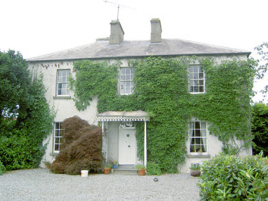 Torboy Househouse · 1.1 mi
 National Famine WayWalking route · 1.6 mi
 Bawn in CastlereaBawn · 1.7 mi
 Bawn in BallyknockBawn · 1.7 mi
 Corlea Bog Walk Canal BranchWalking route · 2.8 mi
 Corlea Trackway Interpretative CentreHeritage attraction · 3.0 mi
 Graveyard in Curry (ardagh By., Coolamber Ed)Graveyard · 3.8 mi
 Leveret IslandIslet · 8.0 mi
 White Sand WoodWood · 8.5 mi
Other information
Photo: Credit not shown in the picture search · Rights wording not checked; contact us if this picture should be removed