What is recorded here
Fairy fort / earthen ringfort in Clooncullaan (roscommon By., Cregga Ed) is a fairy fort or earthen ringfort in Clooncullaan (roscommon By., Cregga Ed), County Roscommon, Ireland. The oval grass-covered area measures 44m NW-SE and 36m NE-SW at the N edge of a broad, low-lying plateau. A parch-mark 3-5m wide or slight scarp defines the boundary, with faint bank traces 4m wide and 0.2m high at N. No fosse or entrance is visible, and a NW-SE field bank clips the E perimeter.
Visible on aerial photographs (ACAP: V206/51), and situated at the N edge of a broad, low-lying plateau. Oval grass-covered area (int. dims 44m NW-SE; 36m NE-SW) defined by a parch-mark (Wth 3-5m) in drought conditions or a slight scarp, with slight traces of a bank (Wth 4m; H 0.2m) at N. There is no visible fosse or entrance, and the perimeter is clipped by a NW-SE field bank at E.
Compiled by: Michael Moore
Date of upload: 24 August 2010
The monument record does not grant public access. Check the route and ask the landowner before entering private land.
- What survives
- Recorded monument
Places near here
 Embanked enclosureFairy fort / earthen ringfort · 692 yd
 Church in LaghtcauskChurch · 998 yd
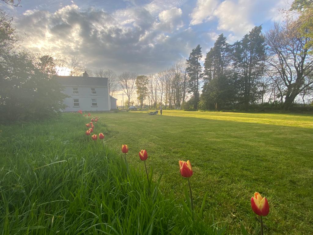 IndicatedFairy fort / earthen ringfort · 1056 yd
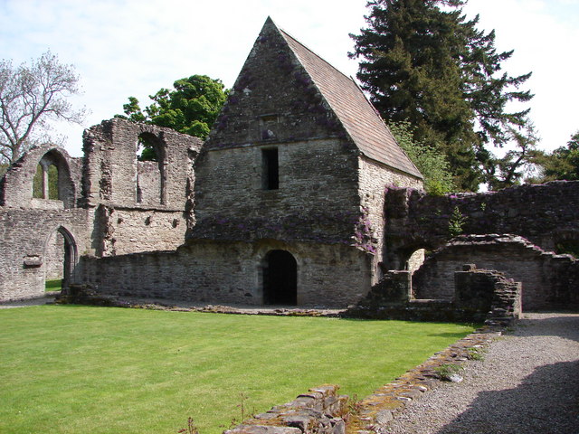 RuinChurch · 2.0 mi
 War of Independence Commemorative Military MemorialMemorial · 2.6 mi
 Caslans WoodForest · 3.2 mi
 Sweet ChestnutSweet Chestnut · 3.7 mi
 Strokestown House GardensHeritage attraction · 4.0 mi
 CastleCastle, unclassified · 4.1 mi
 Cruachan Aí Heritage CentreMuseum · 4.1 mi
 ToberagullaSpring · 5.0 mi
 Leitrim CastleCastle, unclassified · 6.6 mi