What is recorded here
Clooncugger holds a thirty-metre circular fort on a gentle NE-facing slope, its stone-faced bank rising 1.2m above the pasture. A shallow fosse cuts the north and northwest edge while vegetation thickens the interior, hiding the floor from modern sight. The shape suggests people once drew a clear line between inside and outside, perhaps for living, perhaps for keeping something at a distance.
In pasture, on break in gentle NE-facing slope. Circular area (diam. c. 30m) enclosed by earthen stone-faced bank (H 1.2m); shallow external fosse to N and NW. Interior heavily overgrown.
The above description is derived from the published 'Archaeological Inventory of County Cork. Volume 1: West Cork' (Dublin: Stationery Office, 1992). In certain instances the entries have been revised and updated in the light of recent research.
Date of upload/revision: 14 January 2009
The monument record does not grant public access. Check the route and ask the landowner before entering private land.
- What survives
- Recorded monument
Places near here
 Childrens Burial Gd (Disused)Burial ground · 333 yd
 Ballyourane Castle (in Ruins)Castle, unclassified · 905 yd
 IndicatedSweathouse · 1053 yd
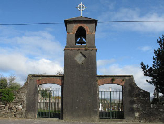 St. Mary's Churchbell tower/stand · 1389 yd
 farm housefarm house · 1466 yd
 Lissangle Castle (Site of)Castle, unclassified · 1.7 mi
 Mount KidMountain / peak · 3.0 mi
 Moyny Bridge WalkWalking route · 3.5 mi
 Drimoleague Heritage Loop WalkWalking route · 3.8 mi
 Francis O'Neill PlaqueMemorial · 4.4 mi
 KnockaphukeenMountain / peak · 5.4 mi
 Heritage CentreMuseum · 5.4 mi