What is recorded here
Fairy forts are human places misnamed by fear. Cloghchurnel is a wide stone-and-earth ring, partly cut through by a modern road, with a shallow ditch at one side and a broken opening at the other. People may have lived there, herded there, or simply avoided it after dark. The name changed, but the shape still asks to be walked.
In well-drained, level pasture. A raised circular area (diam. 36.5m) enclosed from N-S-WNW by a substantial bank of earth and stone (Wth 6.4-7m; H 0.7-1m), which is truncated by a modern ENE-WSW roadway from NW-N-NNE. At the base of the bank at W and WNW is a shallow fosse (Wth 5.9m; D 0.7-0.8m). A recently widened break (Wth 4.5m) in the bank at E probably marks the original entrance.
Compiled by: Patrick F. O'Donovan
Date of upload: 29 November 2011
The monument record does not grant public access. Check the route and ask the landowner before entering private land.
- What survives
- Recorded monument
Places near here
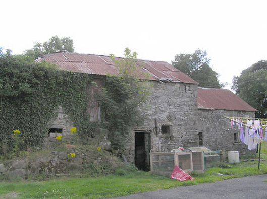 Clooneen Millmill (water) · 388 yd
 BarrowBarrow, mound barrow · 526 yd
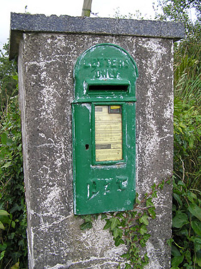 post boxpost box · 886 yd
 FortsFairy fort / earthen ringfort · 1108 yd
 CartronfreeMountain / peak · 1.0 mi
 ToomeMountain / peak · 2.1 mi
 IdicatedCastle, unclassified · 2.2 mi
 Bakers FortCastle, ringwork · 2.3 mi
 1798 Monumentmonument · 2.4 mi
 Granard MotteMotte-and-bailey castle remains · 2.5 mi
 Derrycassan WoodsWood · 2.6 mi
 InchmoreIslet · 3.4 mi