What is recorded here
Fairy fort / earthen ringfort in Cloghane is a fairy fort or earthen ringfort in Cloghane, County Tipperary, Ireland. The roughly circular site measures 31 metres north-south and 36 metres east-west, with a 0.26m scarp and a 5.7m wide ditch visible through grass growth. An outer bank is also visible through grass growth in the northwest quadrant.
Situated on undulating ground, sloping very gently to the SE. The site has been levelled but is visible as a roughly circular raised area (diam. 31m N-S; 36m E-W) defined by a scarp (H 0.26m), a fosse (Wth 5.7m), visible as differential grass growth, and an outer bank (Wth 3.5-5m) which is only visible as differential grass growth in the NW quadrant. The site was identified on an aerial photograph (GSIAP, S 589/8; S 584/3).
The above description is derived from 'The Archaeological Inventory of County Tipperary. Vol. 1 - North Tipperary' compiled by Jean Farrelly and Caimin O'Brien (Dublin: Stationery Office, 2002). In certain instances the entries have been revised and updated in the light of recent research.
Date of upload/revision: 22 September 2008
The monument record does not grant public access. Check the route and ask the landowner before entering private land.
- What survives
- Recorded monument
Places near here
 TobernataggartHoly well · 720 yd
 Church FieldChurch · 856 yd
 RathkennanCastle, motte and bailey · 965 yd
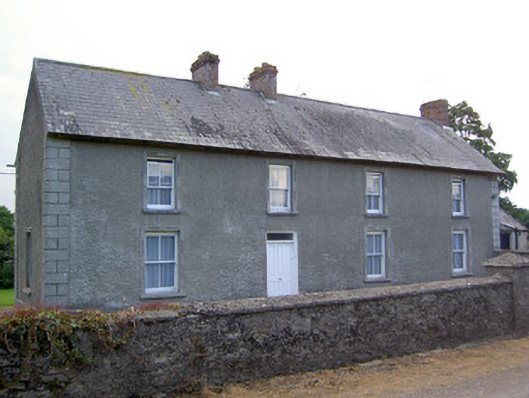 Rathkennan Househouse · 981 yd
 IndicatedEnclosure · 1566 yd
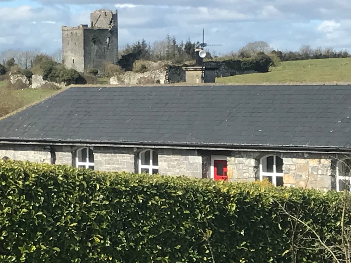 Bawn in Clonyharp (clogher Par.)Bawn · 1.6 mi
 Cormackstown Heritage CentreMuseum · 2.4 mi
 Clonoulty HillMountain / peak · 3.0 mi
 Drum WoodWood · 3.4 mi
 Killough Hill (site of)Mountain / peak · 3.4 mi
 Wildlife CorridorWood · 4.5 mi
 Lár na PáirceMuseum · 5.0 mi