What is recorded here
No amount of thinking will bring back what has gone.
On a gentle SW-facing slope in pasture. Depicted as a circular enclosure with the designation 'Fort' on the 1837 ed. of the OS 6-inch map. A report in 1987 (SMR file) noted that this raised subcircular area (c. 33m N-S; c. 31m E-W) was enclosed by a wide low bank of earth and stone. It is defined by a broad scarp (H 0.3-0.4m). There is no evidence of a fosse and the original entrance is not recognisable.
Compiled by: Patrick F. O'Donovan
Date of upload: 26 August 2011
The monument record does not grant public access. Check the route and ask the landowner before entering private land.
- What survives
- Recorded monument
Places near here
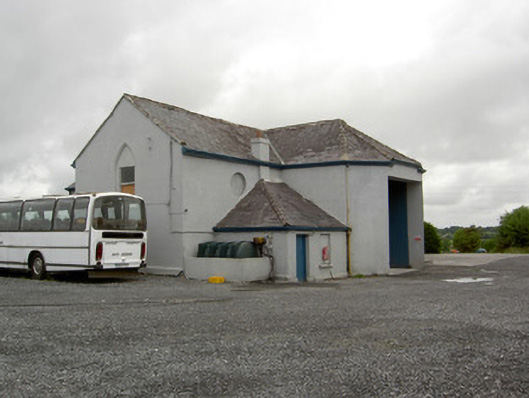 church/chapelchurch/chapel · 91 yd
 Enclosure in Cartronawar (rathcline By.)Enclosure · 178 yd
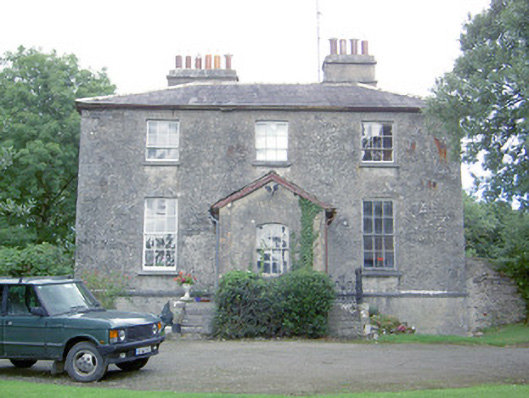 Kilcommock Rectoryrectory/glebe/vicarage/curate's house · 513 yd
 IndicatedFairy fort / earthen ringfort · 613 yd
 Bawn in TirlickeenBawn · 1.5 mi
 Corlea Bog Walk Canal BranchWalking route · 1.6 mi
 CastleCastle, unclassified · 1.7 mi
 Corlea Trackway Interpretative CentreHeritage attraction · 1.9 mi
 Corlea Bog Walk Blue LoopWalking route · 2.2 mi
 Graveyard in Curry (ardagh By., Coolamber Ed)Graveyard · 5.7 mi
 Leveret IslandIslet · 5.9 mi
 InchbofinIslet · 6.8 mi