What is recorded here
Fairy fort in Cartoon, County Longford: a 25m earthen ring with a northern causeway entrance, standing in low pasture where an outer bank recorded in 1976 has since been levelled. The flat bank, shallow fosse and surviving entrance suggest a small defended or ceremonial place rather than a mere boundary mark. Field lines still skirt it, as if the land remembers the shape even when the story has thinned.
In low-lying pasture. A raised circular area (diam. c. 25m) enclosed by a low bank of earth and stone (Wth 3.3-3.4m; H 0.2-0.6m) with an external fosse (Wth 2.4-3.3m; D 0.3-0.4m). A report in 1976 (SMR file) recorded an outer bank; it has since been levelled. A break (Wth 2m) in the bank at N with an accompanying causeway may mark the original entrance. An ENE-WSW running field boundary skirts the rath at NW and another one running NNW-SSE skirts it at NE.
Compiled by: Patrick F. O'Donovan
Date of upload: 28 November 2011
The monument record does not grant public access. Check the route and ask the landowner before entering private land.
- What survives
- Recorded monument
Places near here
 CastleBawn · 955 yd
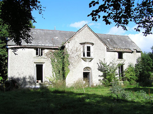 Ballyorney Househouse · 986 yd
 dovecote/pigeon house/aviarydovecote/pigeon house/aviary · 1040 yd
 Lady WellHoly well · 1505 yd
 Bush IslandIslet · 1.0 mi
 IndicatedFairy fort / earthen ringfort · 1.0 mi
 Culnagore WoodForest · 1.2 mi
 Elfeet BayBay · 1.5 mi
 Elfeet CastleCastle, Anglo-Norman masonry castle · 1.6 mi
 Leveran IslandIslet · 1.6 mi
 Pollagh BayBay · 1.7 mi
 RindoonWood · 2.9 mi