What is recorded here
Fairy fort / earthen ringfort in Carrownabinna OR Ballymeeny (hillas) is a fairy fort or earthen ringfort in Carrownabinna OR Ballymeeny (hillas), County Sligo, Ireland. The roughly oval site measures 36 metres north-west to south-east and 26 metres north-east to south-west within a low earth and stone bank. A natural scarp replaces the removed bank along the north-west to east-south-east edge, while a low internal bank partially divides the interior. No visible entrance or outer ditch remains at ground level.
Situated on slight rise in gently undulating pasture. Slight raised, roughly oval area (36m NW-SE; 26m NE-SW) enclosed by a low bank (Wth 5.1m; int. H 0.2m) of earth and stone. There is no visible trace of a fosse at ground level. From NW-ESE, the bank has been removed and the edge of the site is defined by a natural scarp. The original entrance is not recognisable. The interior is partially divided by a low NNE-SSW bank (Wth 2m; H 0.2m) of earth and stone that links to the inner face of the enclosure bank at W.
Compiled by: Mark Keegan
Date of upload: 19 January 2011
This remains an important historical record, but the official description says the monument is no longer visible or has been destroyed. The monument record does not grant public access. Check the route and ask the landowner before entering private land.
- What survives
- No visible remains or recorded as destroyed
Places near here
 Enclosure in Carrownabinna OR Ballymeeny (hillas)Enclosure · 123 yd
 IndicatedEnclosure · 505 yd
 Split RockNamed rock · 1053 yd
 Glenburn Househouse · 1626 yd
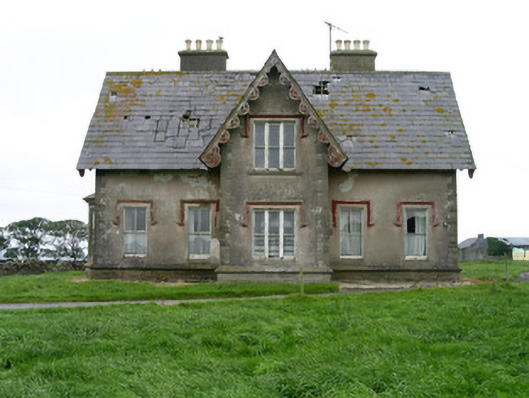 Templeviewhouse · 1.0 mi
 Cooanmore PointHeadland · 1.3 mi
 Jim Smith MemorialMemorial · 1.6 mi
 CastleCastle, motte · 1.6 mi
 Ballynahowna CastleCastle, tower house · 2.0 mi
 Wild Atlantic Way: Easky PierVisitor information · 2.0 mi
 Aughris BeachBeach / strand · 6.4 mi
 Eamonn's TopMountain / peak · 8.2 mi