
What is recorded here
Situated on slight NW-facing slope on terrace overlooking lower ground to N. Enclosure (c. 40m NW-SE; c. 28m NE-SW), which in plan resembles a quarter-moon. The site is defined by a curving scarped edge (ext. H 0.2m) from NW-SE. On the S side the enclosure is defined by a linear bank (Wth 1.75m; int. H 0.25m) with external fosse (Wth 1m; D 0.2m). On the W side, it is bordered by a linear relic field bank. The original entrance is not recognisable. The site is overgrown with scrub.
Compiled by: Mark Keegan
Date of upload: 19 January 2011
The monument record does not grant public access. Check the route and ask the landowner before entering private land.
- What survives
- Recorded monument
Places near here
 Enclosure in Carrownabinna OR Ballymeeny (hillas)Enclosure · 444 yd
 St. Ernans WellHoly well · 1074 yd
 Split RockNamed rock · 1548 yd
 Glenburn Househouse · 1600 yd
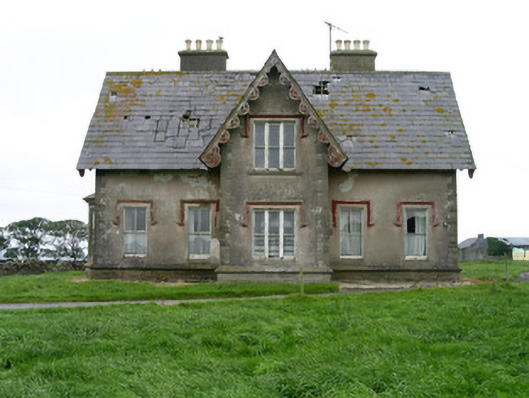 Templeviewhouse · 1.3 mi
 Cooanmore PointHeadland · 1.5 mi
 CastleCastle, motte · 1.8 mi
 Jim Smith MemorialMemorial · 1.8 mi
 Ballynahowna CastleCastle, tower house · 2.1 mi
 Wild Atlantic Way: Easky PierVisitor information · 2.3 mi
 Aughris BeachBeach / strand · 6.1 mi
 Eamonn's TopMountain / peak · 8.0 mi
Other information
Photo: Credit not shown in the picture search · Rights wording not checked; contact us if this picture should be removed